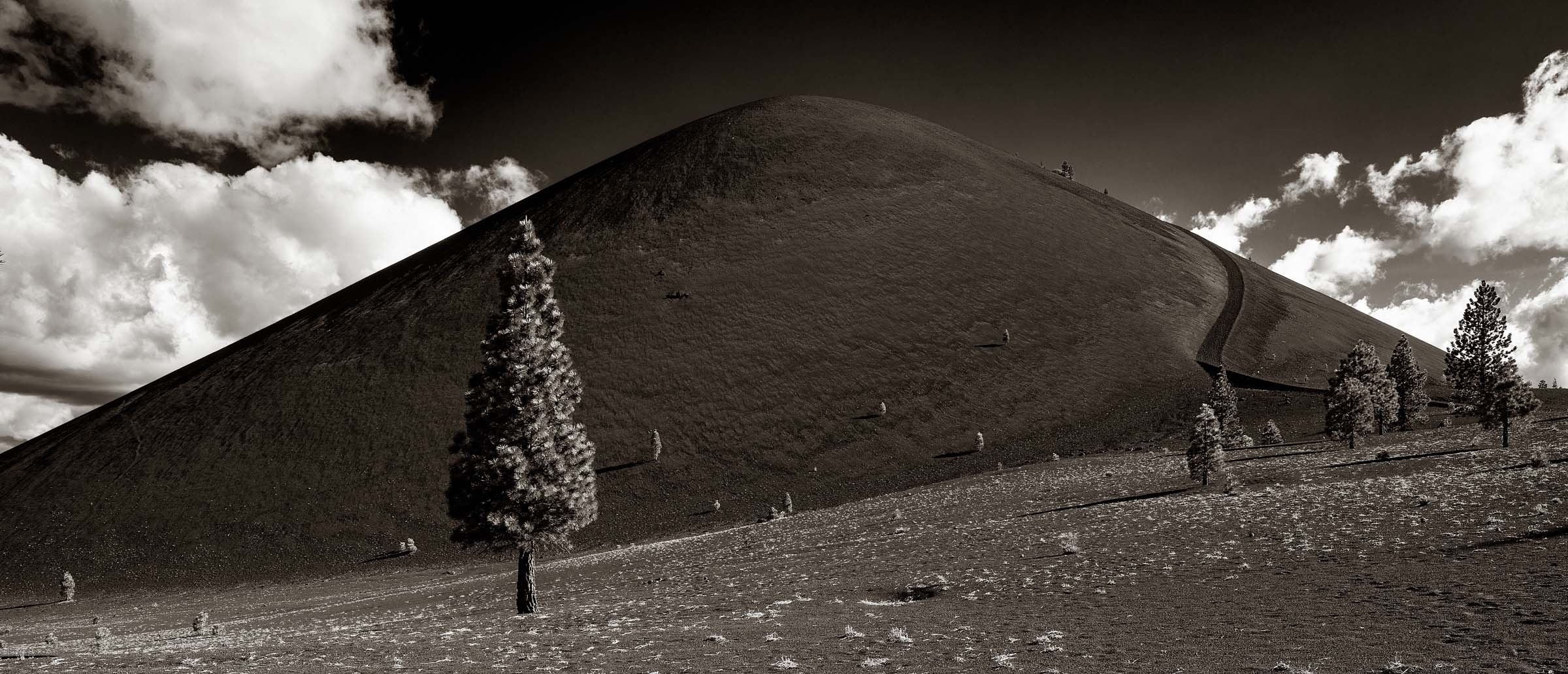
The Cinder Cone, located near Butte Lake, in Lassen National Park, California.
Cinder Cone Trek
Lassen National Park, California
This was actually my second visit to Lassen National Park. I came here in the summer of 2020 and was looking forward to photographing this perfectly shaped volcanic cinder cone. Unfortunately, I was unable to make any useful photos due to all the smoke in the air from the fires that were burning at that time in northern California. Unfortunately, these forest fires have become an annual occurence and are flaring up earlier and earlier with each passing year.
This year I was determined to return to this area and hope that no fires popped up prior to my visit. My brother, Matt, and good friend and fellow photographer, Forbes Conrad, also wanted to revisit Lassen so we set out in the middle of June.
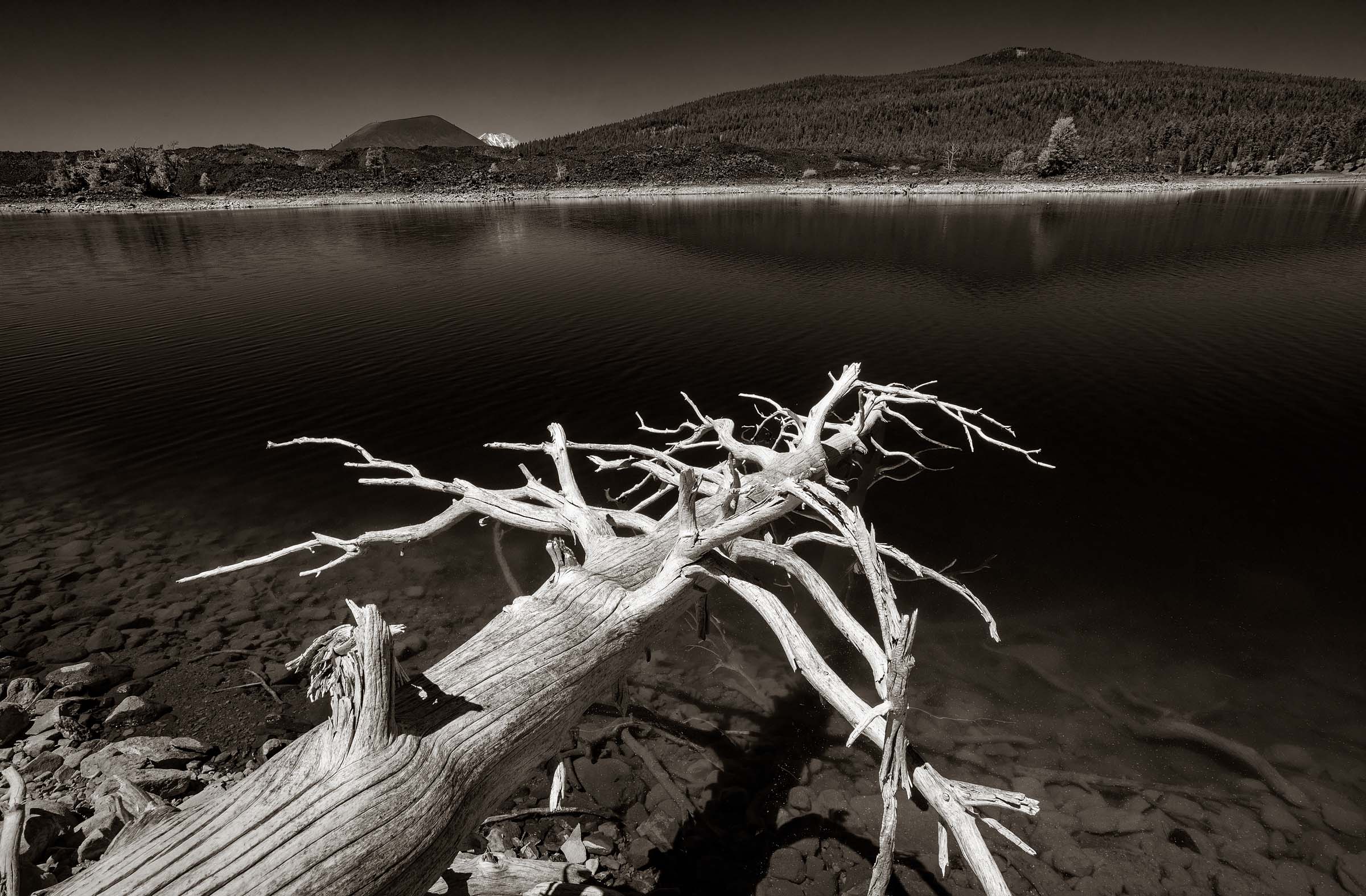
Butte Lake with the cinder cone on the left and off in the distance is the snow covered Mt. Lassen.
The cinder cone is located in the north eastern area of the park and is situated a short distance from Butte Lake. To get there requires driving down a six mile dirt road. The remote location means that it doesn’t get horribly crowded.
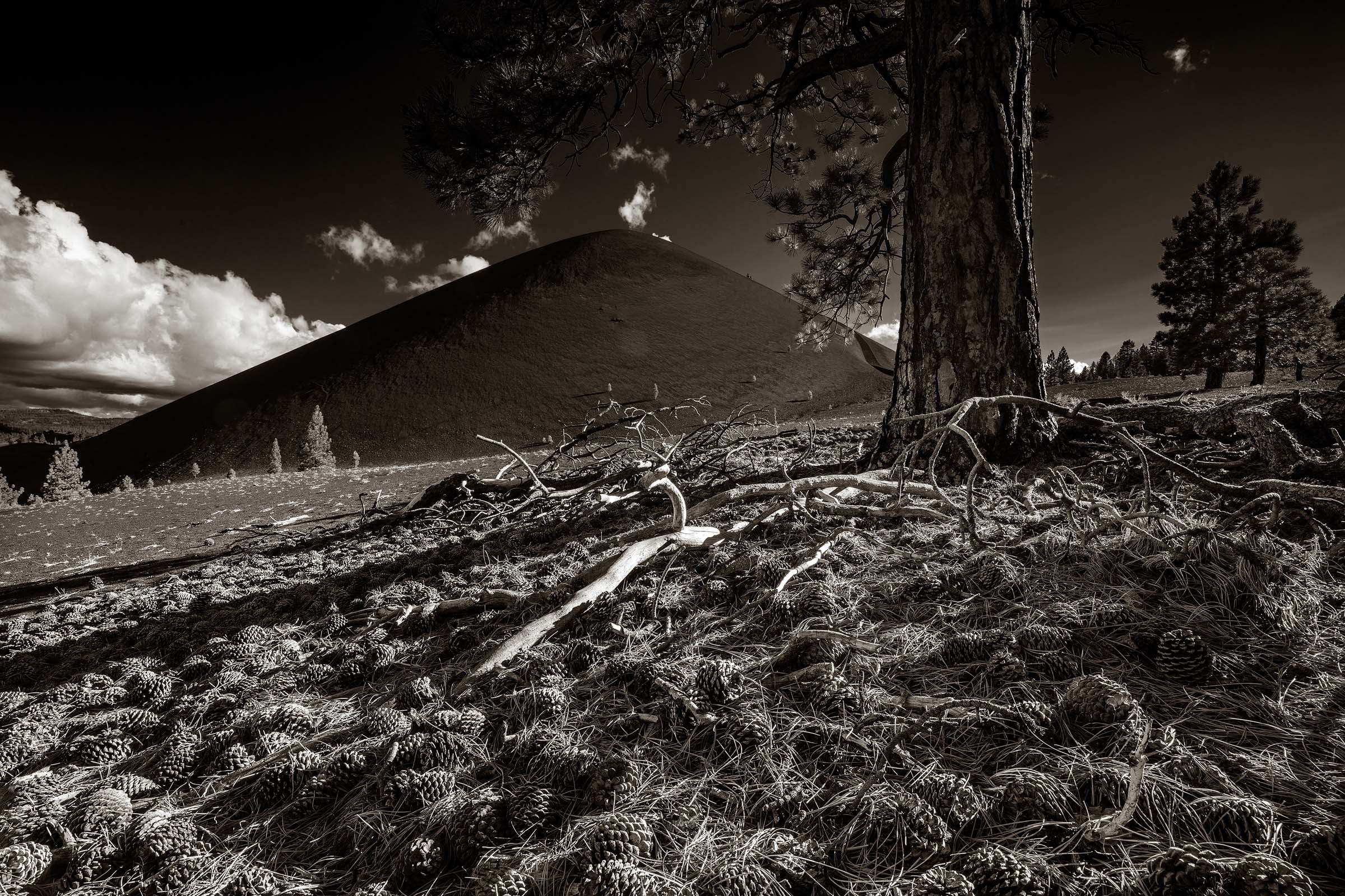
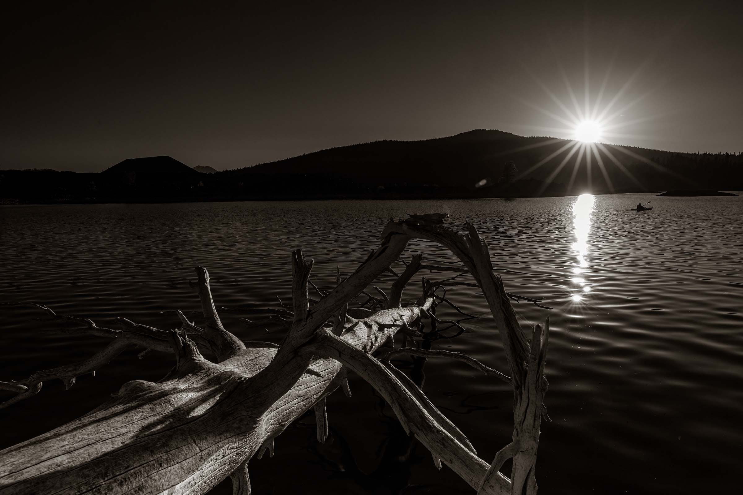
An early evening view.
Upon arrival at the Butte Lake campground I wanted to quickly get my tent setup and the campsite all situated so I could head out and take a look at the cinder cone. Matt and Forbes arrived just after me and together we set up our encampment. With three of us, all in separate tents, we had ourselves a little village.
With the sun now settling into the western sky I was anxious to get moving. The cinder cone was about a two mile (3.4 km) hike so I figured it would not take too long to get there. One thing I had not accounted for was the elevation which was around six thousand feet (1850 meters). Since my life is normally at around sea level I quickly felt the affects of the altitude. The altitude wasn’t high enough to cause any ill affects but it did affect my strength and stamina. Just a mild incline and I felt myself breathing heavier than normal. Fortunately I wasn’t planning to climb the cone today so the walk was only mildly strenuous and was good in helping my body to acclimate to the thinner air.
The weather couldn’t have been better. Well, maybe a little bit better. While it was clear, with beautiful cumulus clouds off in the distance, the wind was blowing hard. In order to keep my tripod stable I had to attach my backpack to one of the legs to keep it from toppling over.
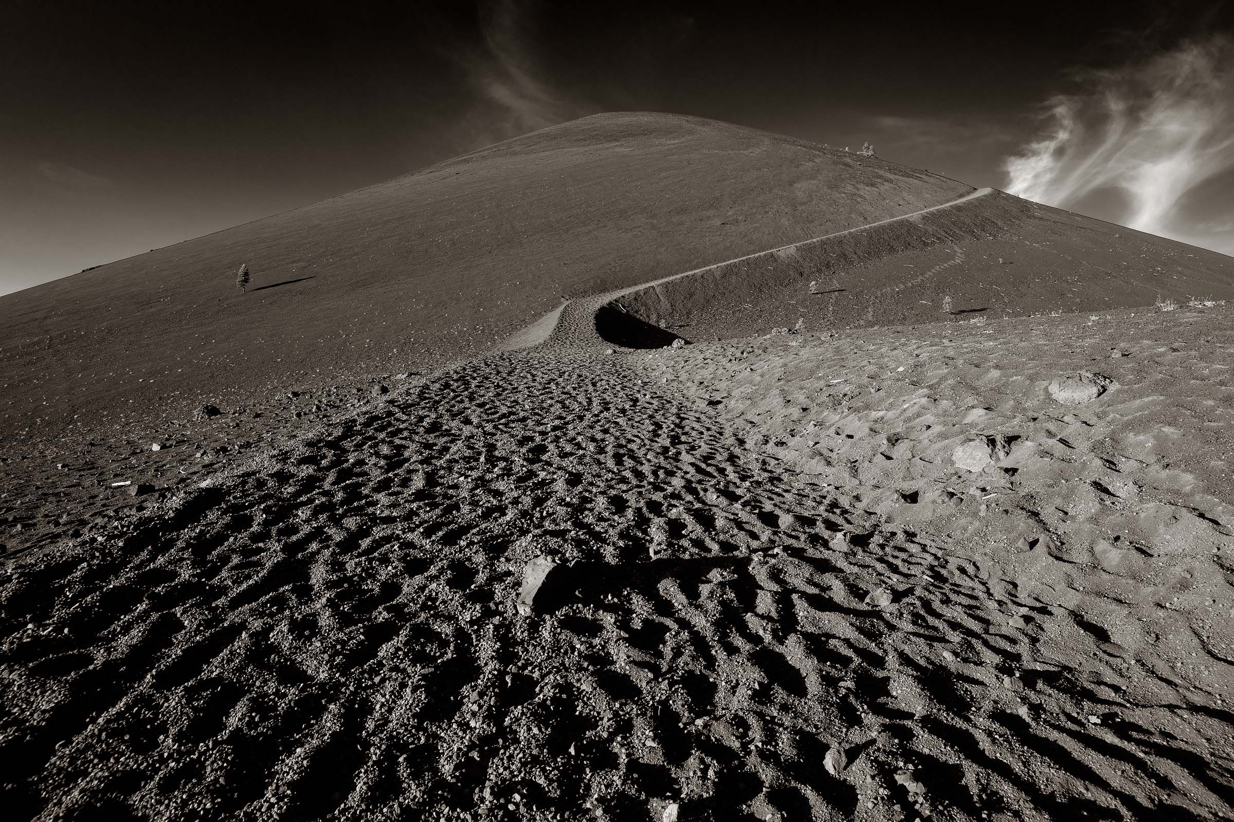
The trailhead which leads to the top of the cinder cone at Butte Lake, Lassen National Park.
The next morning I got an early start. Arriving at the base of the cinder cone at 6am I could see that the sun was going to rise fast. In addition to making photos of the cone I was also interested in the views from top as it rises above a huge lava flow and an area known at the Painted Dunes.
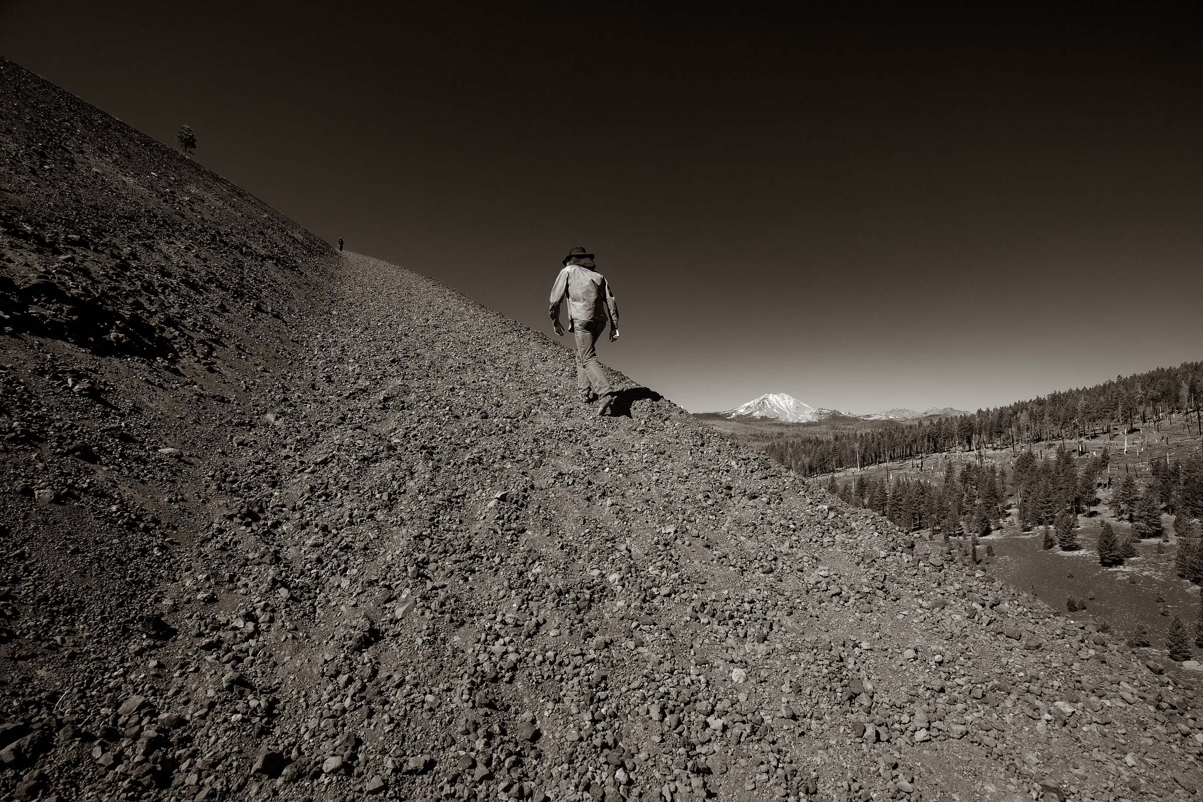
The ascent up the cinder cone with Mount Lassen off in the distance.
The trek to the top of the cinder cone is not long but it is steep. It’s about a nine hundred foot (300 meter) elevation gain in just over half a mile (1 km). In addition to the steepness the trail had the added element of volcanic scree which meant you were walking twice as many steps as you might normally walk. With each step forward your foot would slide back. It’s like being in one of those dreams where you are trying to run but can’t move forward. While I love to get to the top of volcanoes and cinder cones the effort put forward is always frustrating.
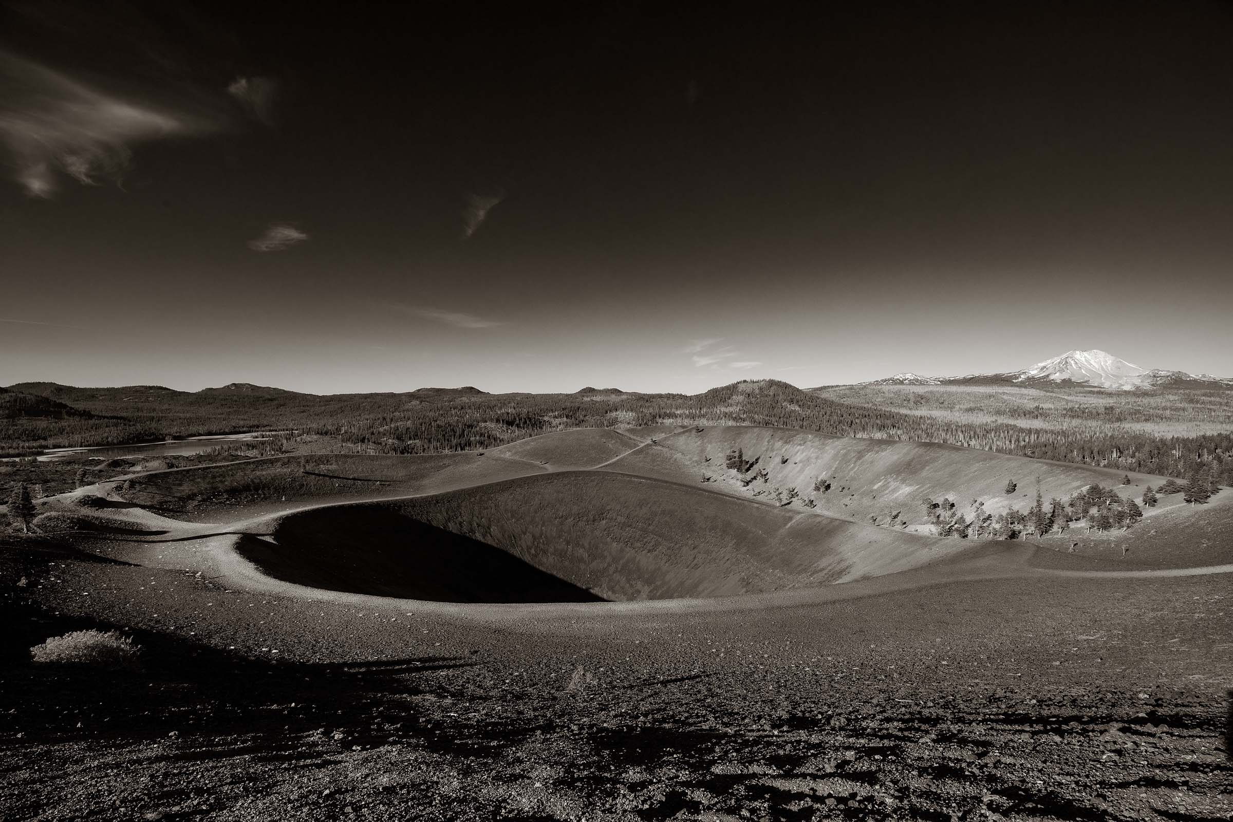
The crater at the top of the cinder cone.
Once at the top of the cinder cone the pain from the ascent is soon forgotten as I was rewarded with some spectacular views. The first thing that captures your attention is the crater which is a few hundred feet (100 meters) deep and its double rim. Geologists believe the dormant cinder cone was formed around 1650.
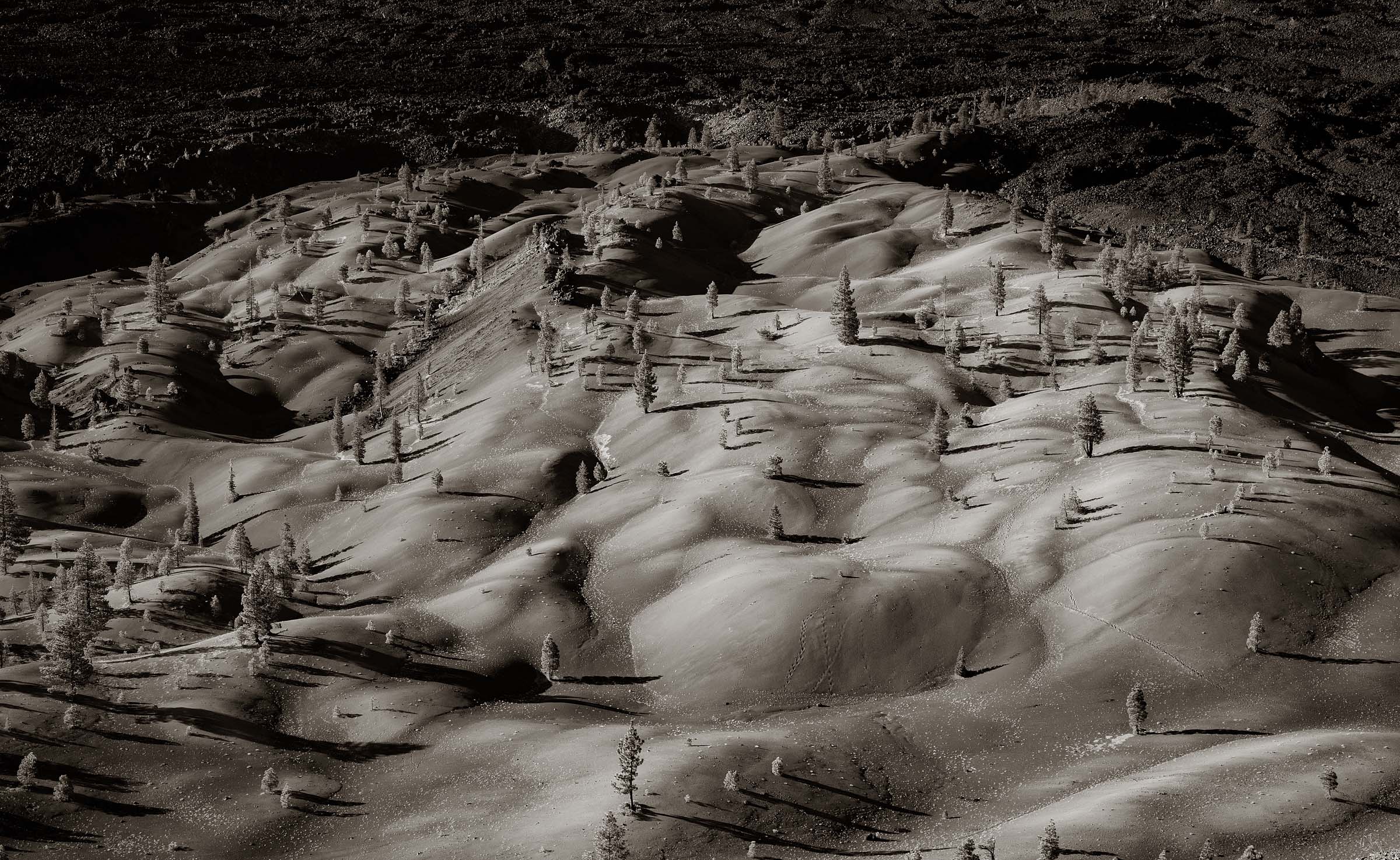
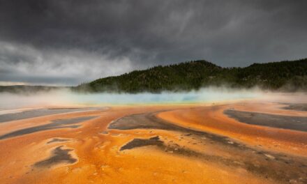
The Painted Dunes at the base of the cinder cone.
From the east side of the crater rim is a dramatic view of the Painted Dunes below and the lava flow beyond. It’s been several hundred years since the last eruption and there is still very little flora thriving in this area.
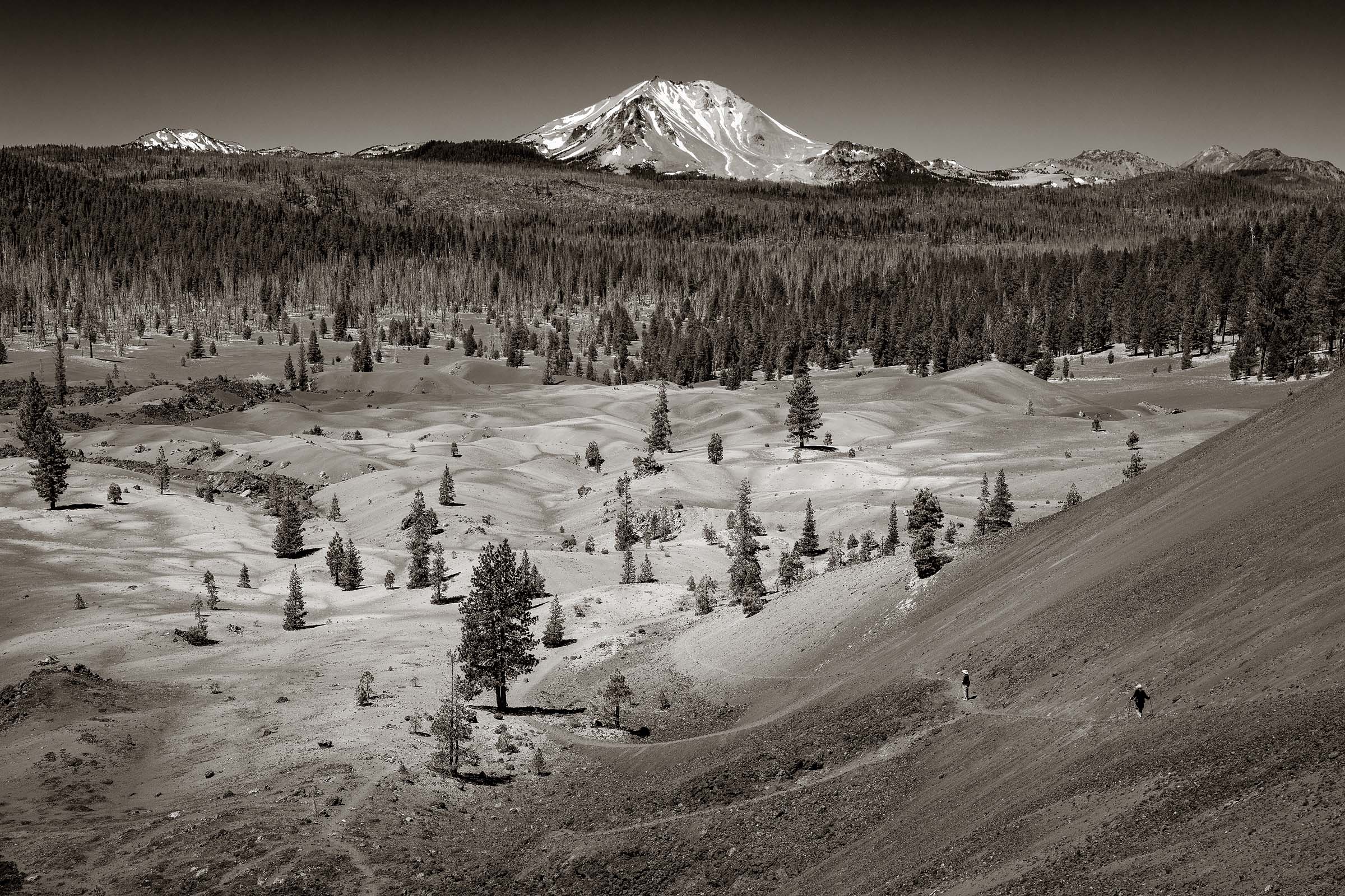
A view of Mount Lassen as the trail down the cinder cone winds around its northern slope.
For the descent we were given two options. One was to simply go down the way we came up while the other, which was a bit longer, would take us down the eastern side of the cone and loop around its northern base. Always wanting to see more we chose the eastern route. Walking down the scree covered trail added a new set of challenges. It certainly didn’t take as much effort to go down but did require a great deal of concentration to not loose your footing and go tumbling down the steep slope. I did actually fall once as I was paying more attention to the scenery than my steps. Fortunately I landed on the trail.
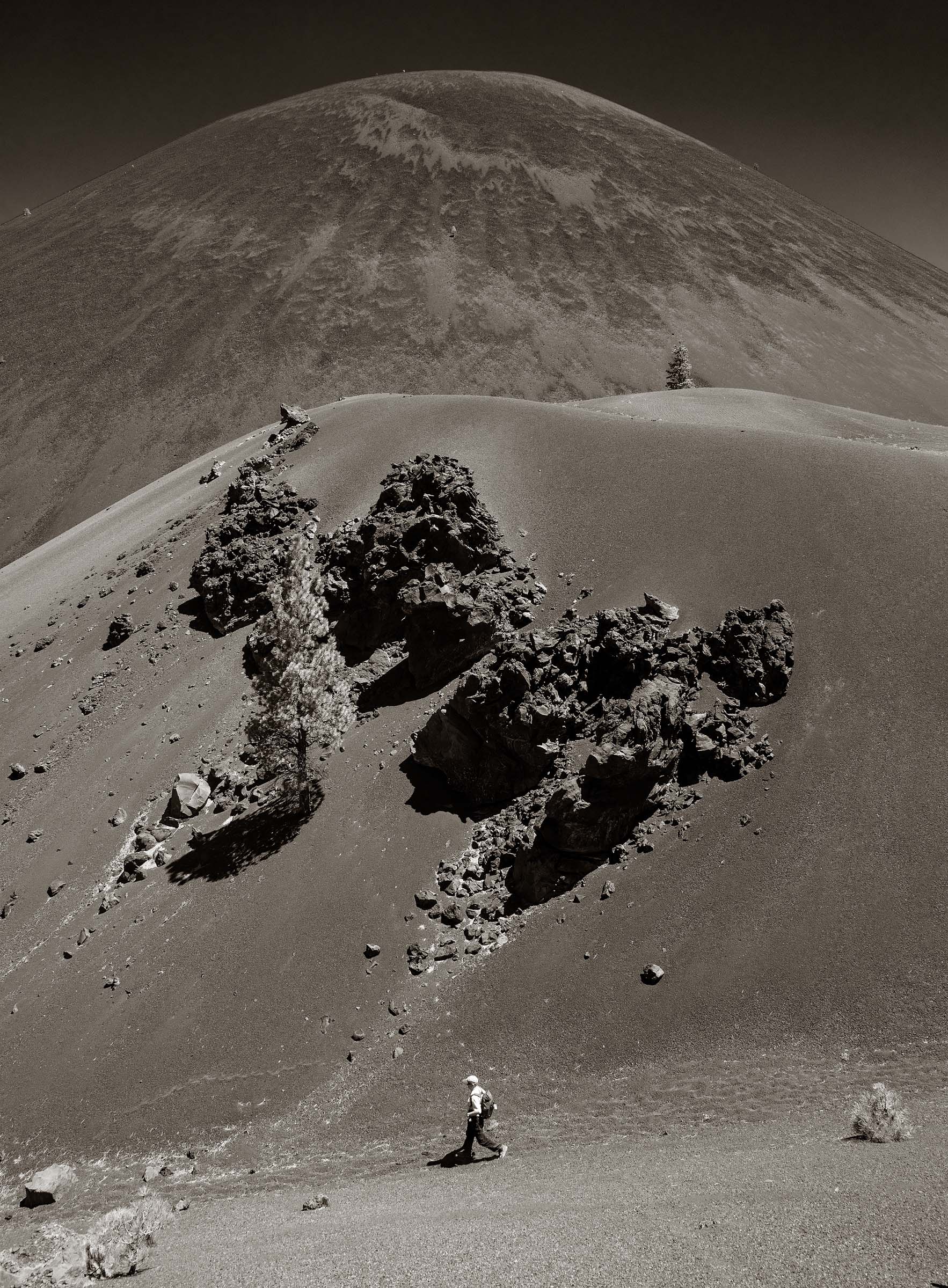
Circumnavigating the cinder cone.
A final look at Butte Lake with that wonderful cinder cone and Mount Lassen in the distance.

