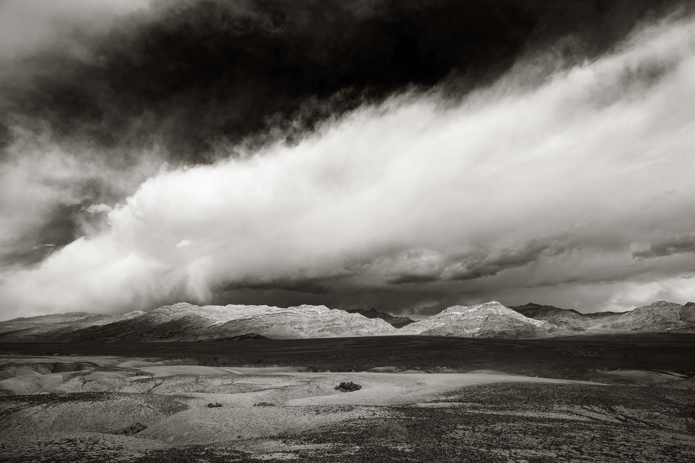
Storm clouds over the Funeral Mountains in Death Valley National Park.
Death Valley Days
I can’t imagine a better place to practice social distancing other than the wide open spaces of the desert. With the nation still under the shadow of the Covid-19 Pandemic, and the rollout of the vaccine taking time to reach the majority of the general public I headed out to Death Valley National Park located in California.
For this journey I ventured out on my own since my wife is actually able to go to work and my daughter had better things to do other than spend nine days with her dad in the desert.
With that being the case I was on a kind of self assignment with only my camera motivating me to explore locations and wait for moments when light improved or clouds moved into more favorable positions.
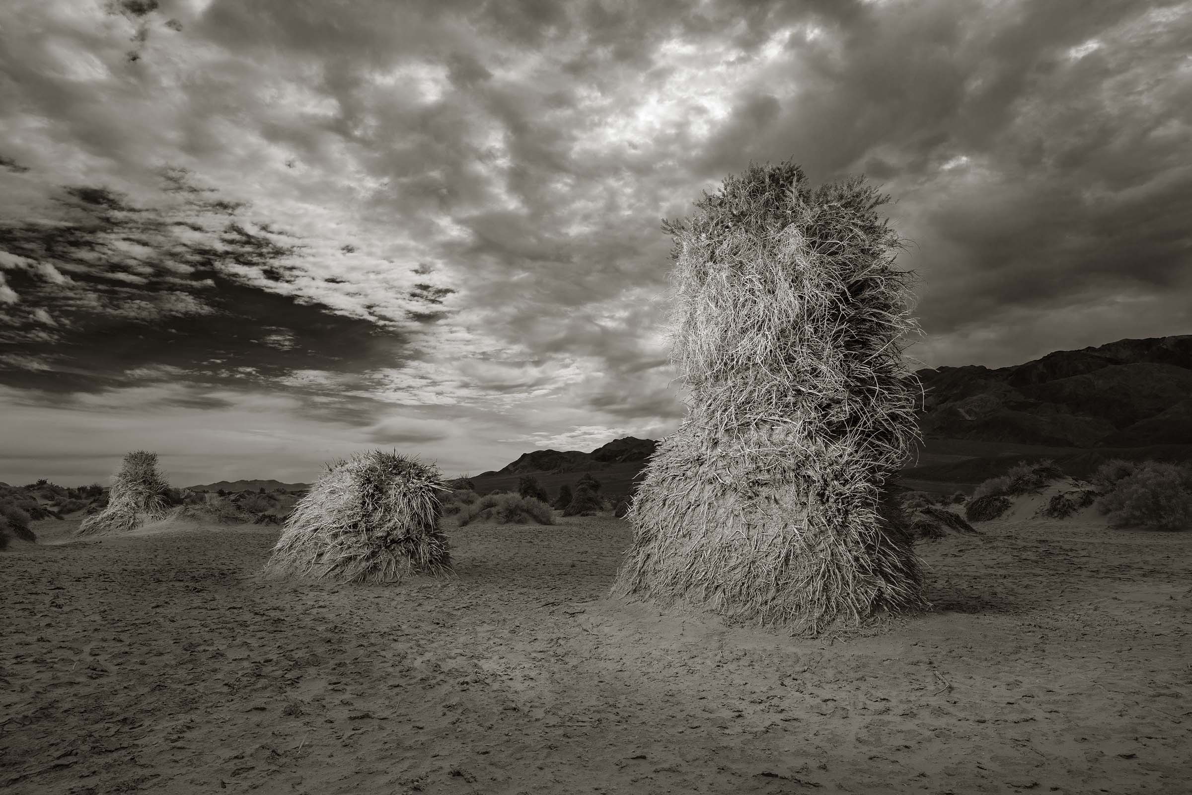
Devil’s Cornfield
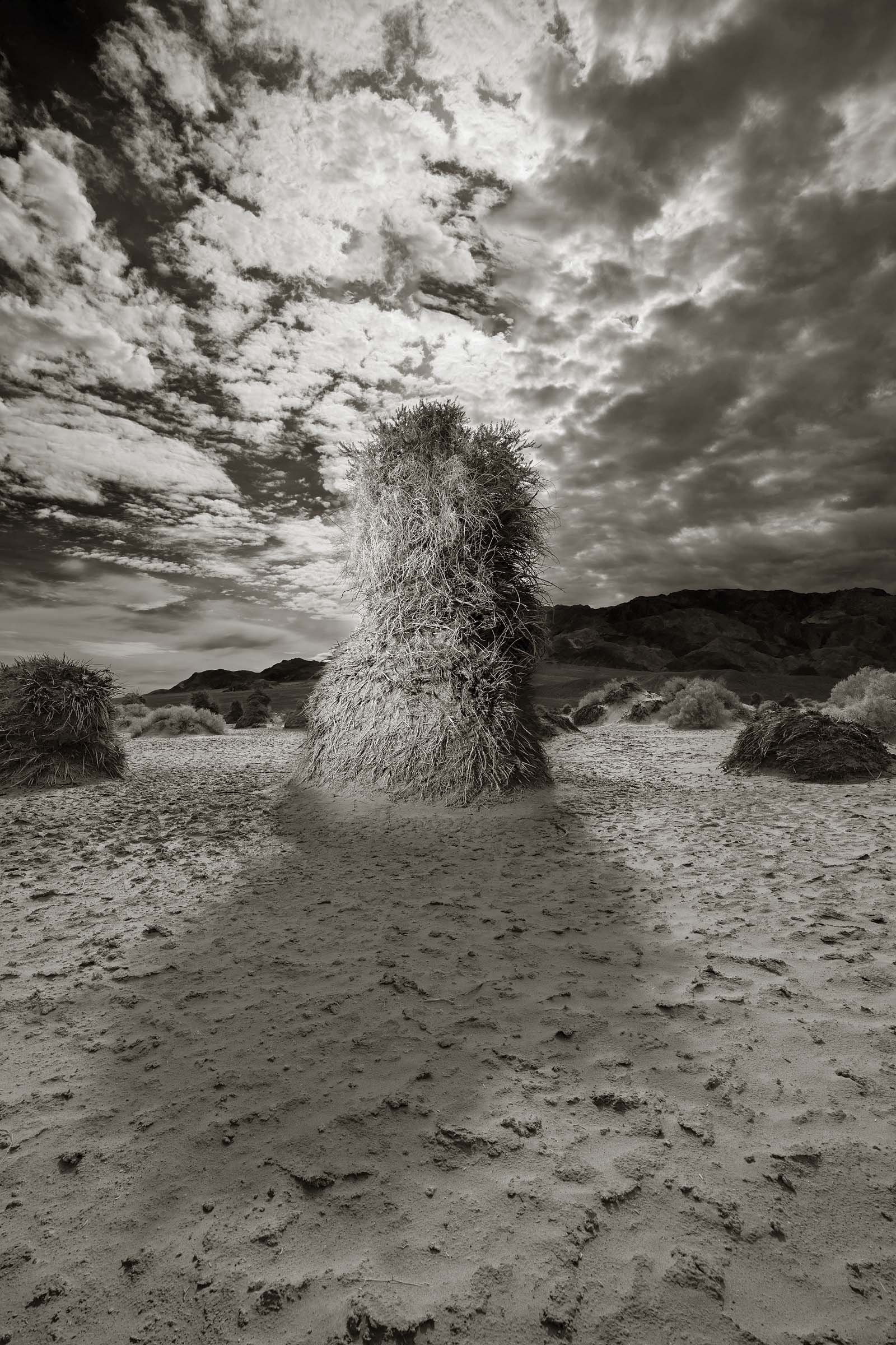
One of the first photographs I made was in an area called Devil’s Cornfield. Death Valley has a lot of great names for its various sites and locations. Many of them Hell inspired. This particular area of the desert is covered with a shrub known as Arroweed which is able to continually grow taller and taller as wind blown earth gathers around its base. Early pioneers crossing the desert felt it resembled stacked corn after a harvest and thus the name was born.
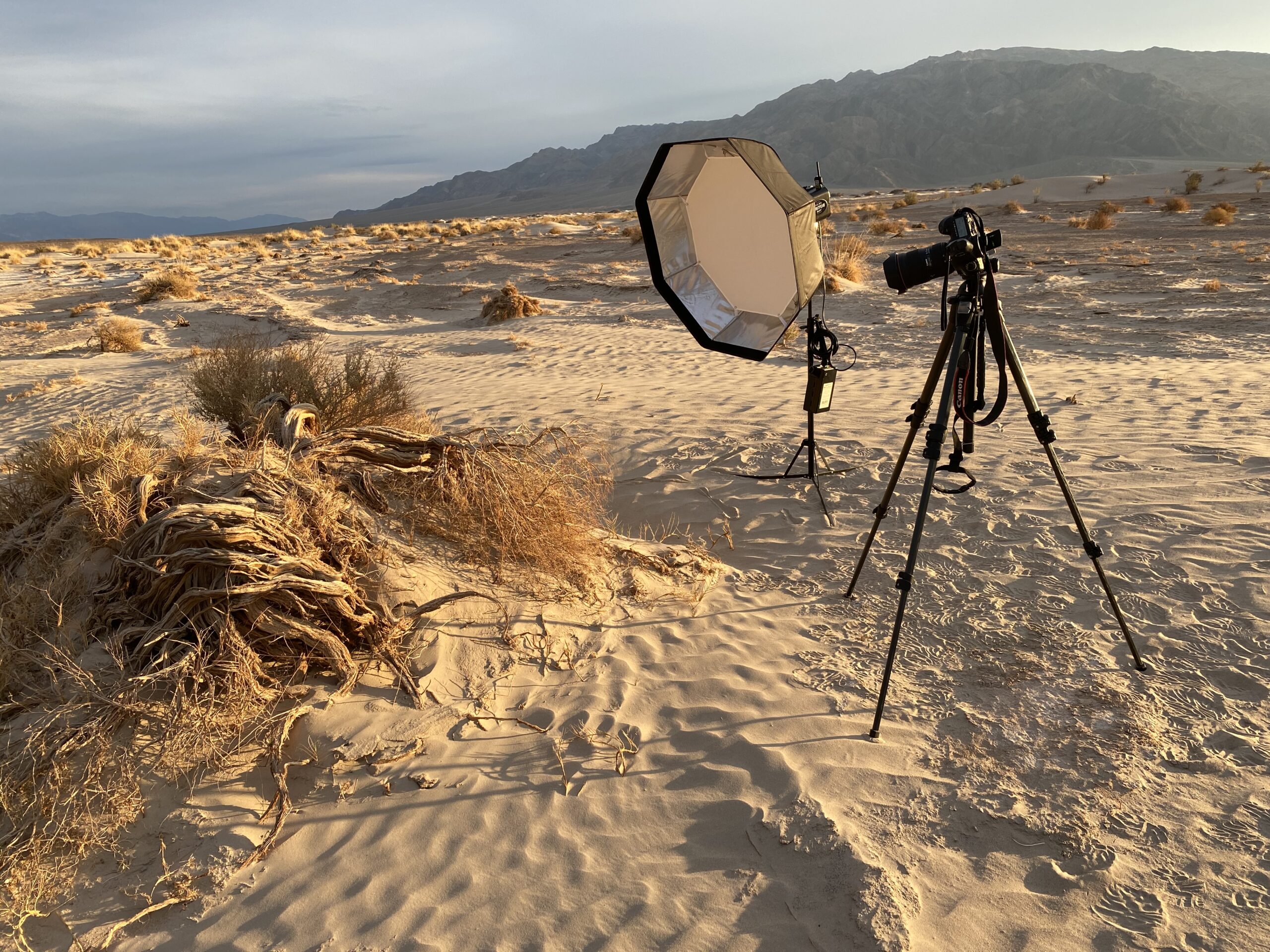
I’ve actually passed by this field of rather unfortunate looking shrubs on previous visits and never considered photographing them. So this time I accepted the challenge. In addition to my usual array of cameras and lenses I brought with me a portable lighting kit which consisted of a Einstein strobe, external battery pack, and an octagon softbox. For the photo above I combined three separate exposures to create the final image. With the exception of the additional light from the strobe this is pretty much what the scene looked like. No Photoshop manipulation.
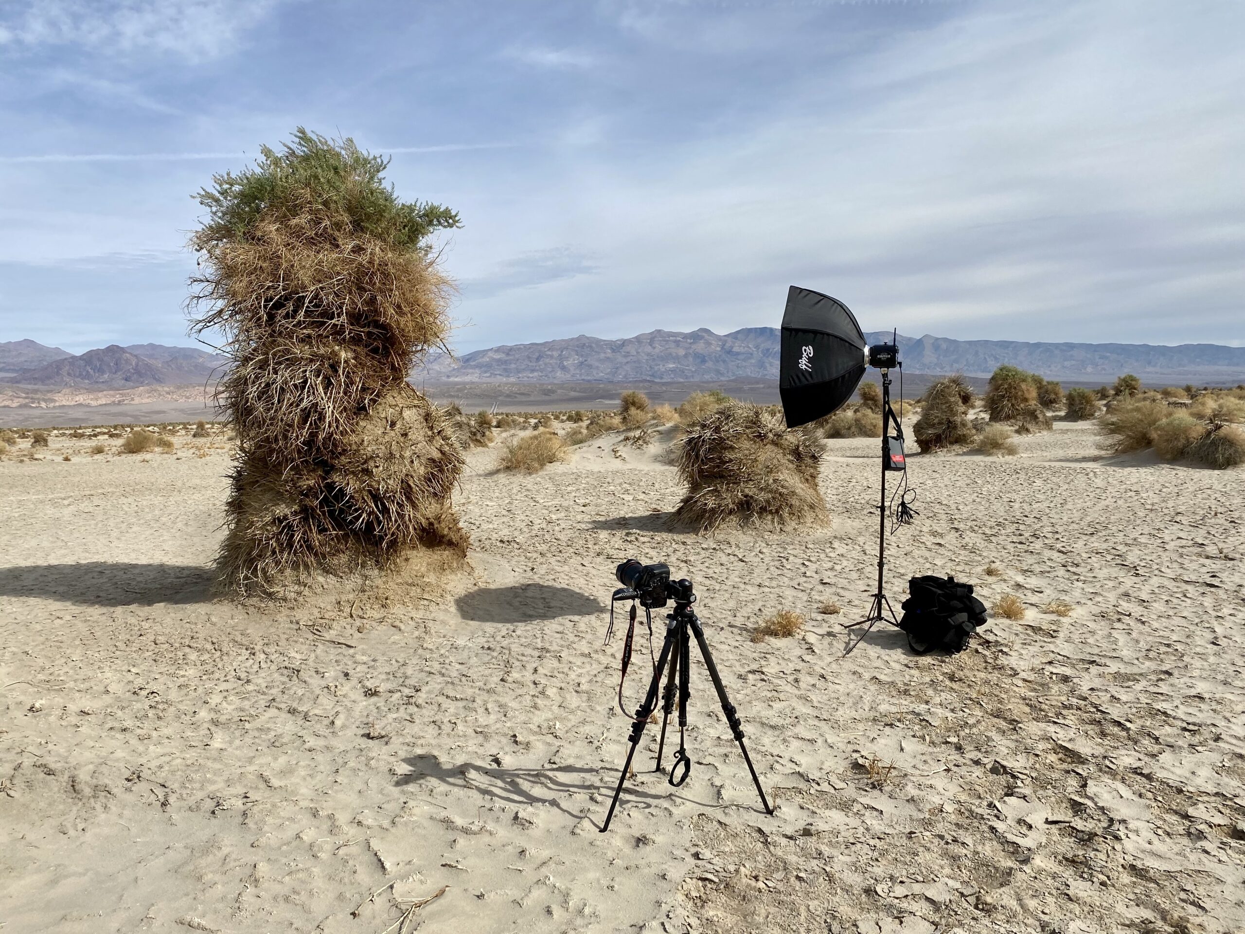
On this trip I brought with me a portable lighting kit. The biggest challenge was keeping the light from blowing away.
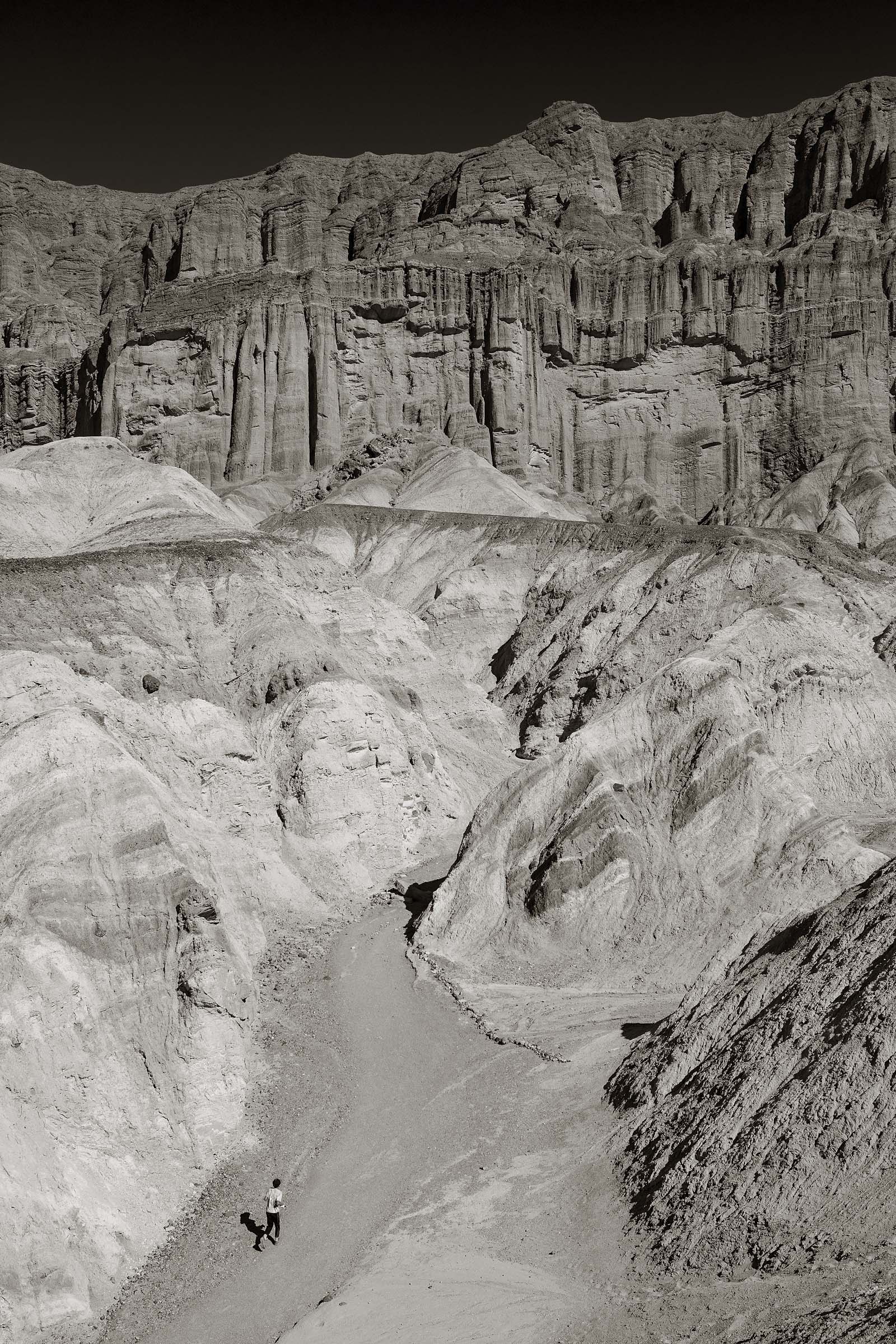
A view of Red Cathedral at the end of the Golden Canyon Trail.
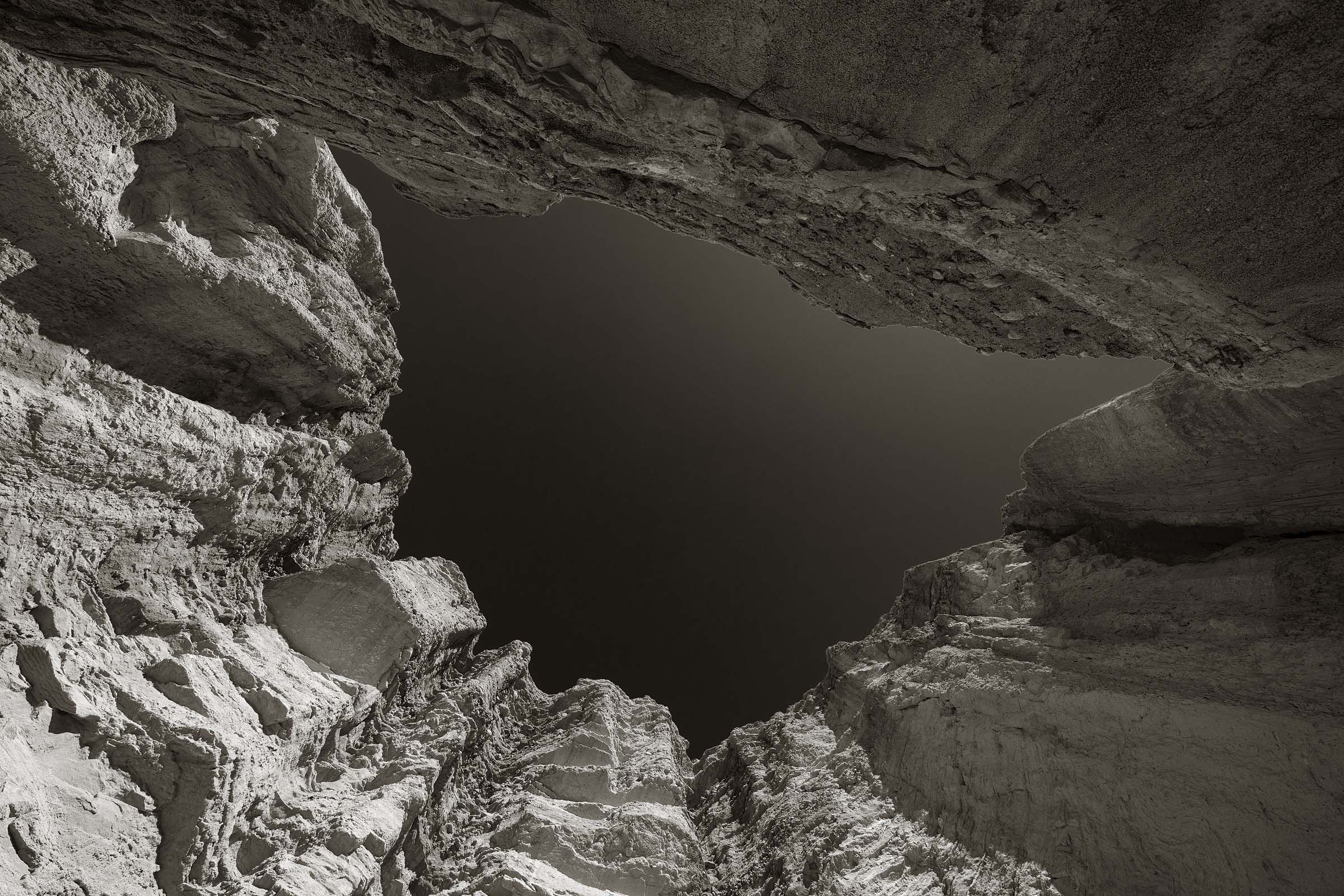
Looking straight up the walls of Red Cathedral at the end of the Golden Canyon Trail.
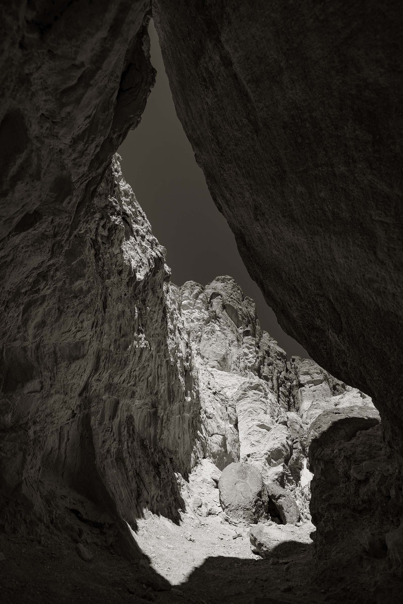
Along the Golden Canyon Trail.
Death Valley is a vast area so each day I’d decide on one destination. Having just one location, or direction, in mind also left me open to look for things to photograph along the way. That could include a spiny cholla cactus, a scraggly mesquite plant, or an interesting rock formation.
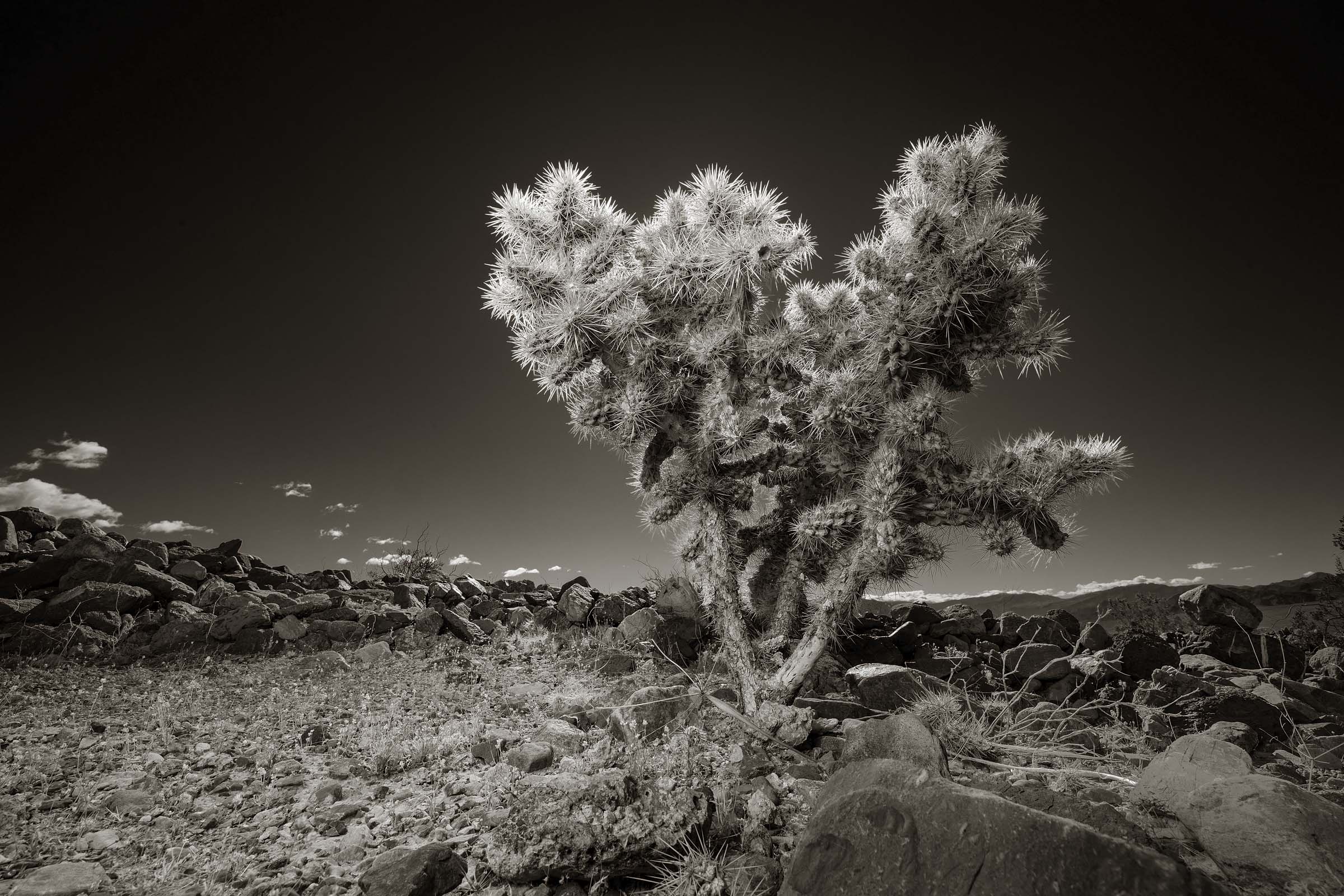
Cholla Cactus
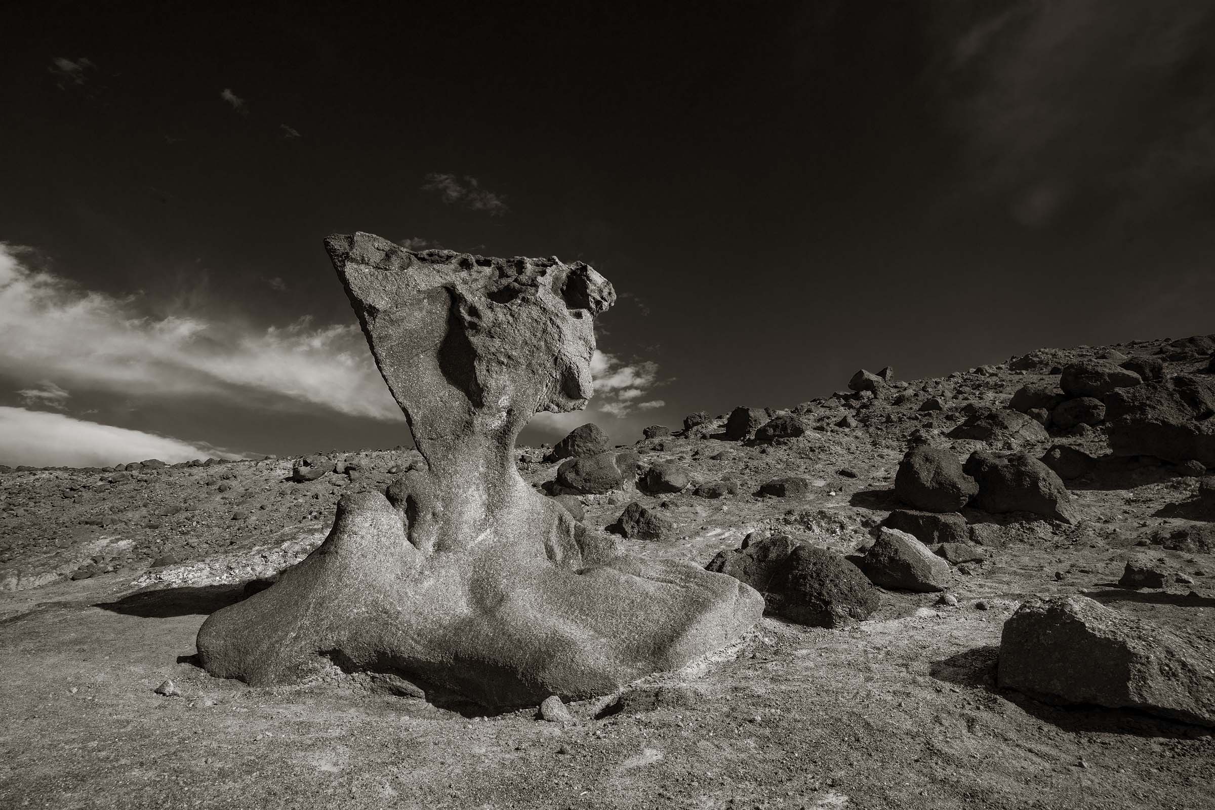
A magnificant sculpture formed during volcanic activity more than 10,000 years ago.
I always enjoy adding my own light to nearly any subject I shoot. Whether I’m shooting a portrait, food, or as in this case, things I find interesting in the desert. The sun is not always where I want it so combining whatever available light I have along with my mobile studio I’m able to light things in such a way that it adds depth to the image.
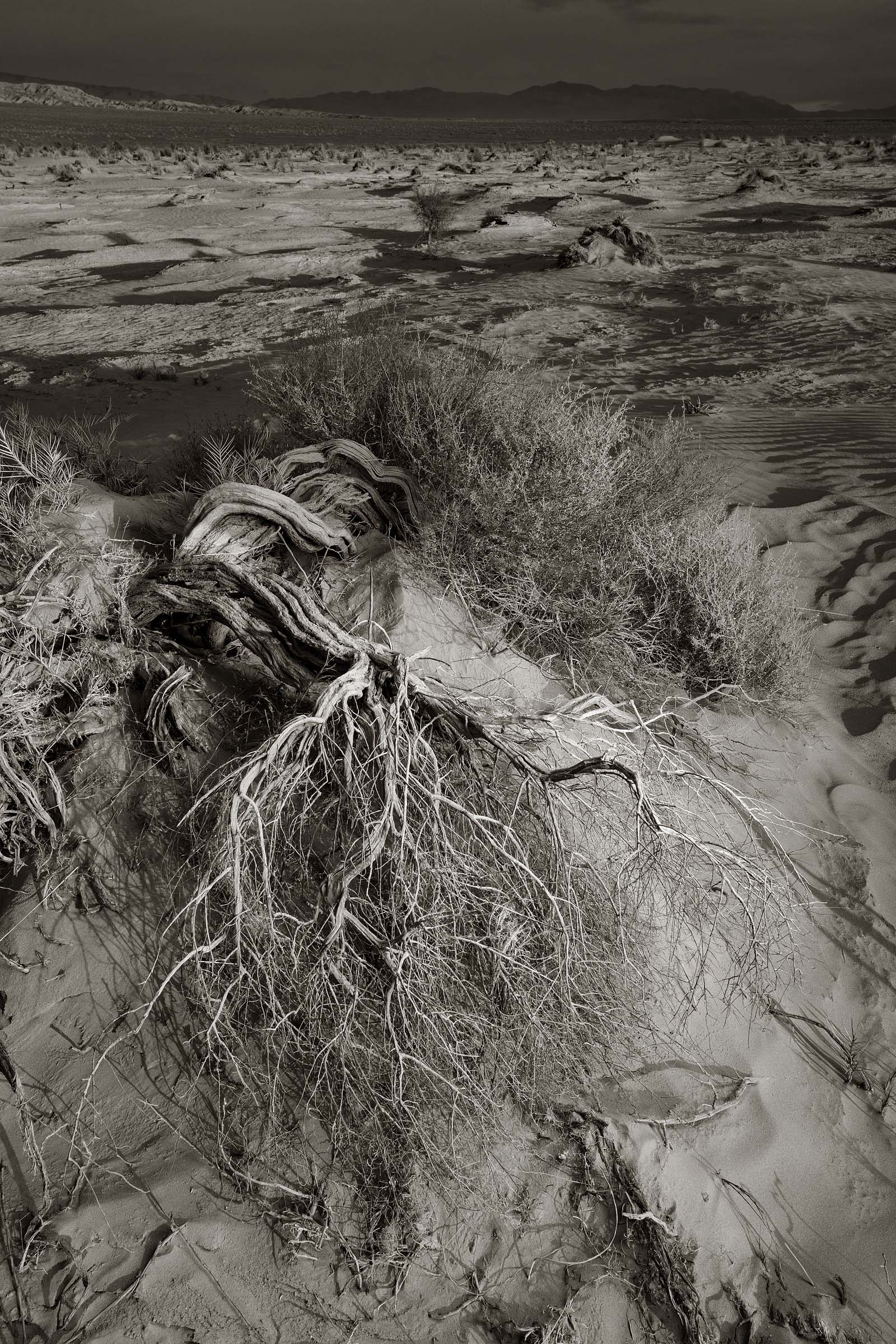
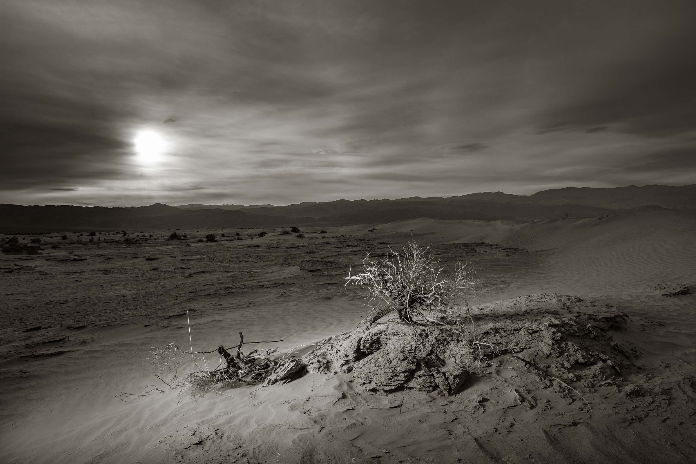
While it may sound cliche the one phrase I often find myself saying to describe Death Valley is other worldly. And while the landscape may all look the same to some people as they drive through the valley I’m often surprised how quickly the environment and terrain will change from one minute to the next.
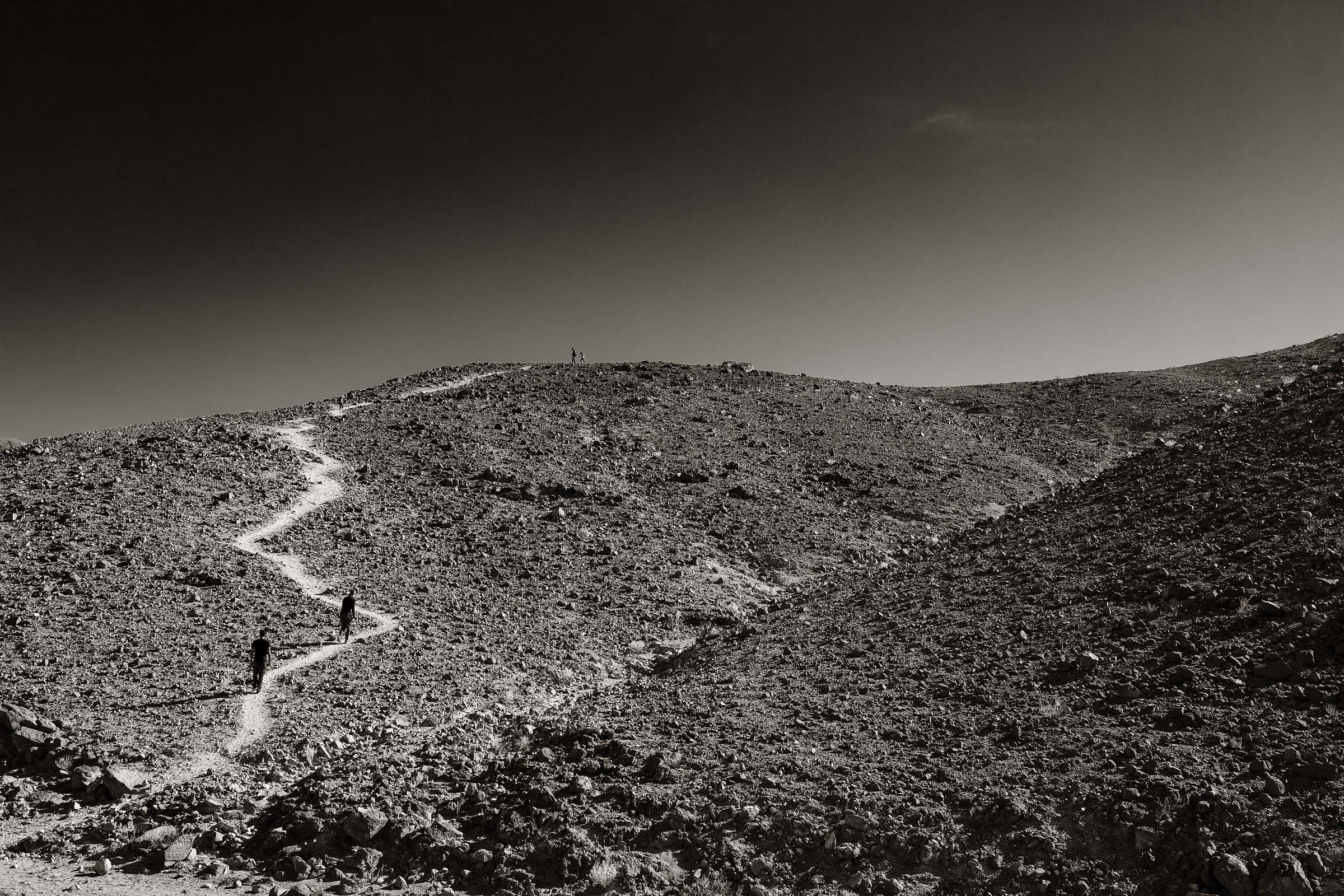
Day hikers exploring a trail in an area known as Artists Palette.
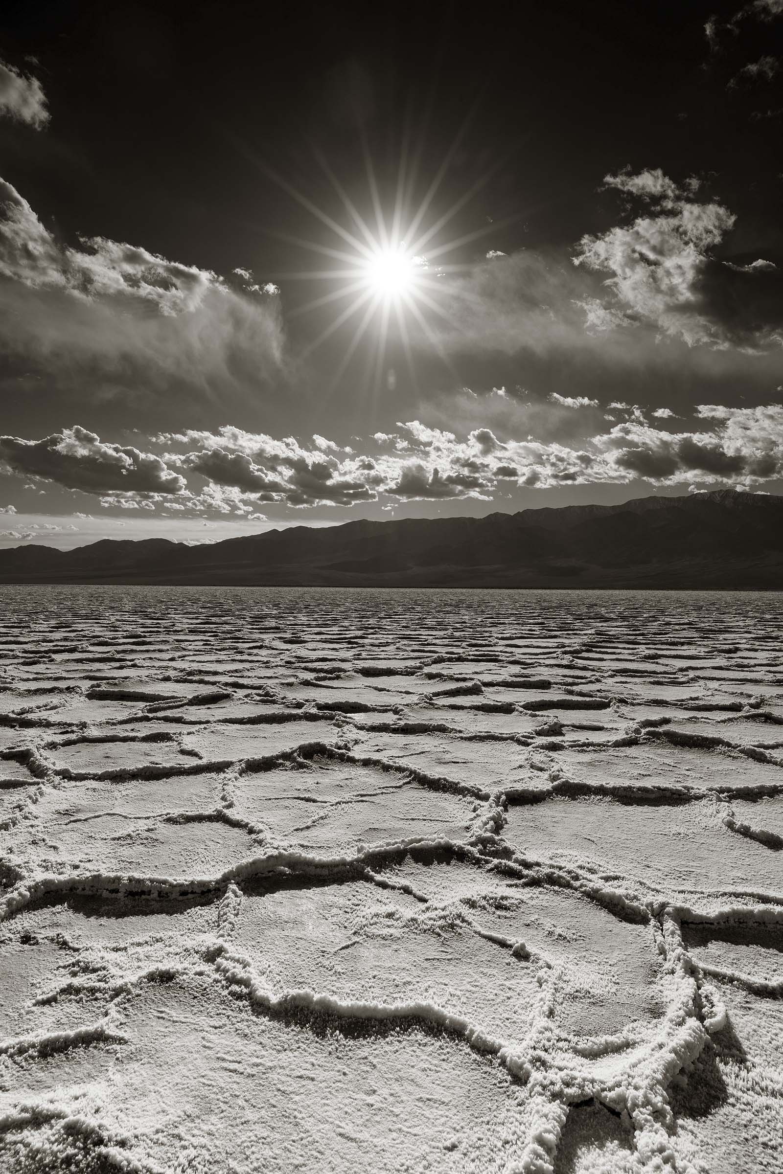
With an elevation of 282 feet (86 meters) below sea level the Bad Water Basin is the lowest elevation in North America.
For the photo above made at the Bad Water Basin I actually made two trips there. On my first attempt I managed to make an okay image but actually arrived at the location a bit later than I would have liked. I didn’t realize that I would have to walk so far out onto the basin to get away from other visitors as well as find a region where the beautifully shaped pools of salt crystals had not been trampled on. So I opted to return the following day and was rewarded with a fantastic sky. My experience in Death Valley taught me that moments like this could be short lived as the weather often changes suddenly. Sure enough as I was completing one of my last shots I looked over my right shoulder and could see that to the north a sand storm was headed my way. Moments after capturing the image below the entire basin was covered in a cloud of dust and sand.
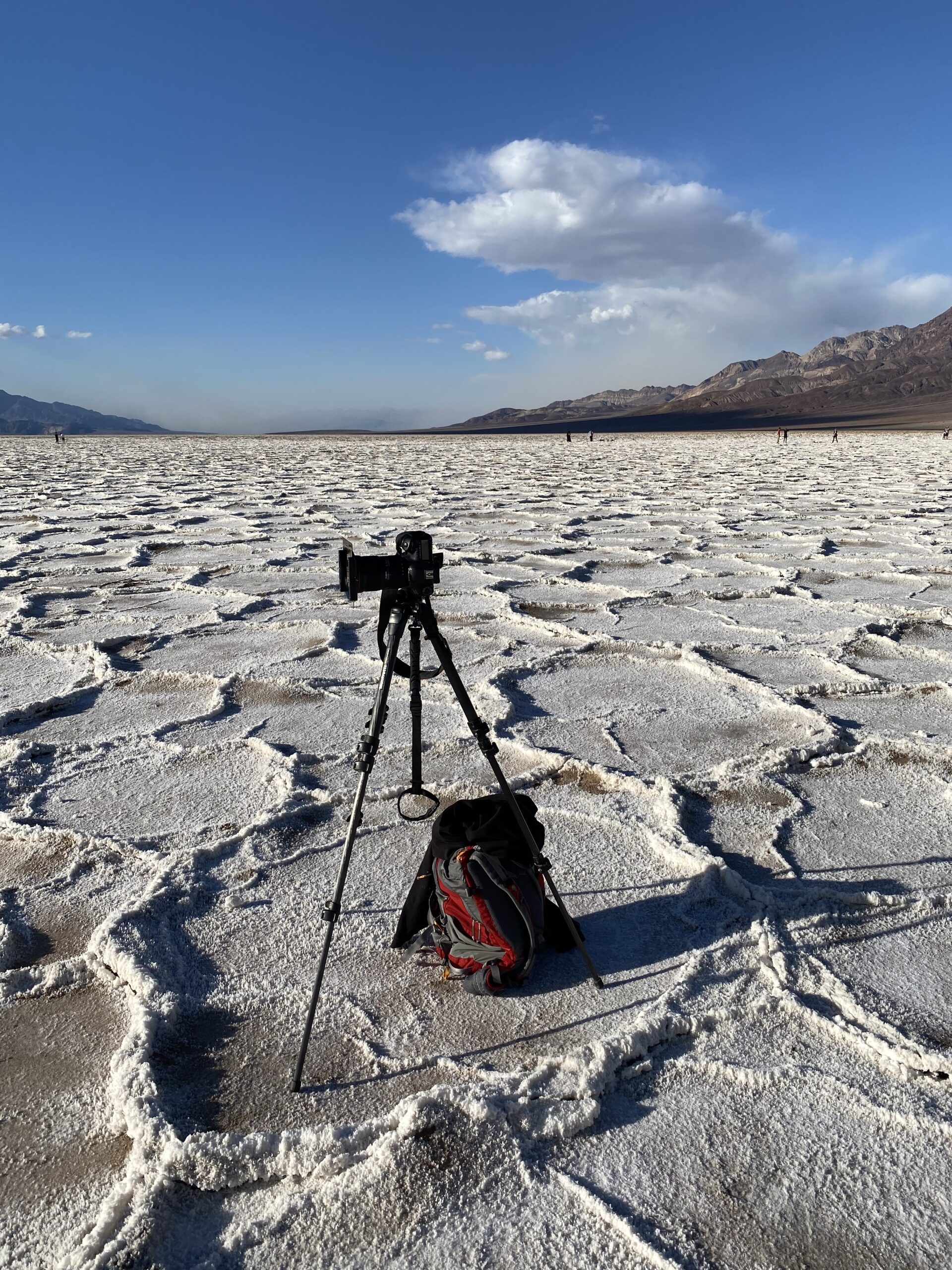
A sand storm can be seen off in the distance. It actually took only a few minutes to arrive.
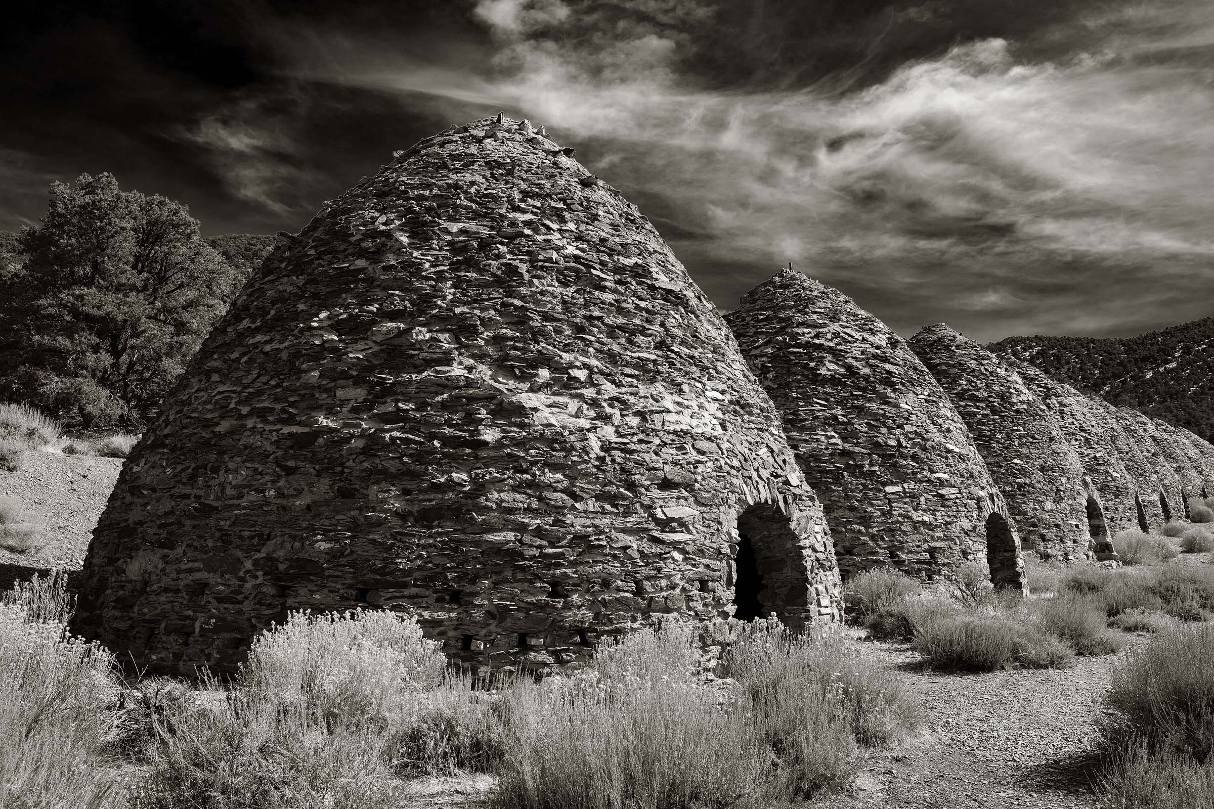
Charcoal kilns located in Wildrose Canyon were built in 1877.
From the low elevation of Bad Water Basin I headed up Wildrose Canyon to have a look at the old charcoal kilns which were built in 1877. At an elevation of 6800 feet (2073 meters) these masonary kilns produced charcoal, with wood sourced in the area, which was then shipped to ore smelters in the Panamint Valley below. They actually only operated for a few years but are still in excellent condition considering their age.
From kilns is a trail that leads up to Wildrose Peak which I would have liked to have done but got started too late in the day. Instead I walked up the trail for around three miles until I reached a point along a ridge where I found a nice view of Death Valley to the east. It was a strange feeling to have been walking through the valley below watching to make sure I didn’t bump into a spiny cactus and then moments later being surrounded by piñon pines and walking on snow covered ground.
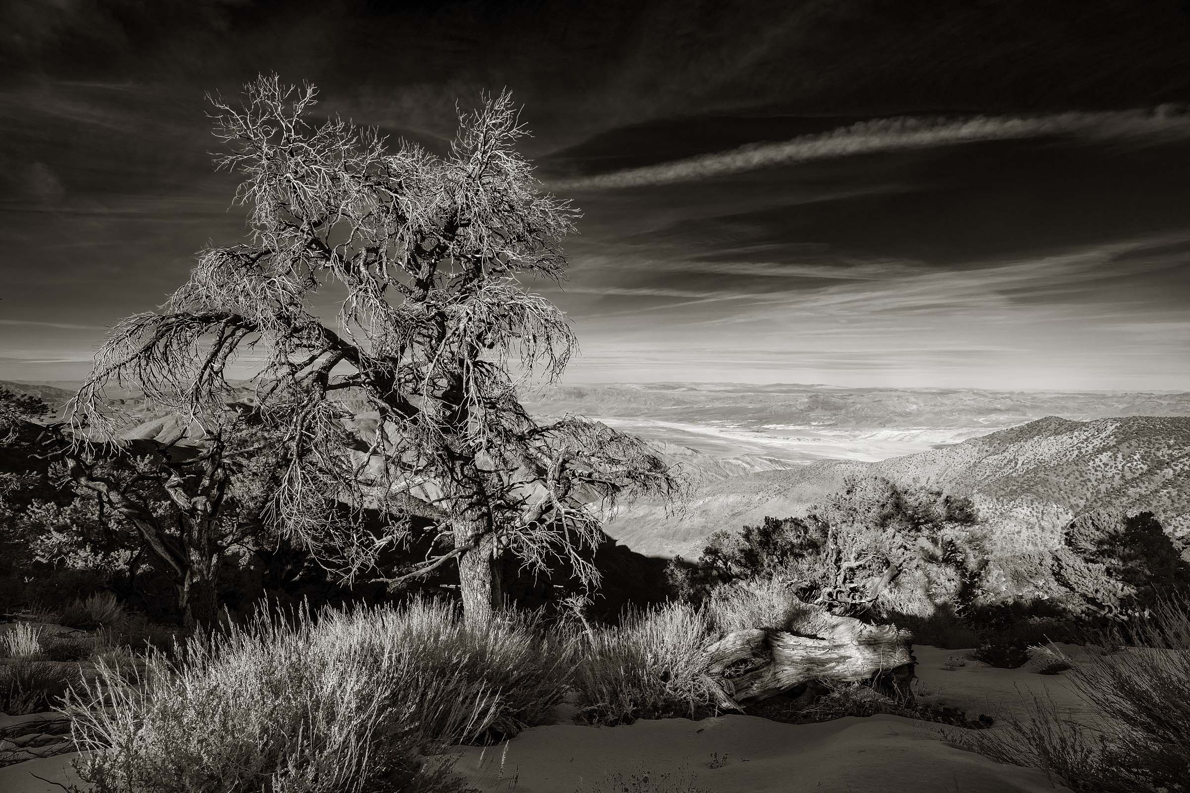
A view of Death Valley from the Wildrose Peak Trail.
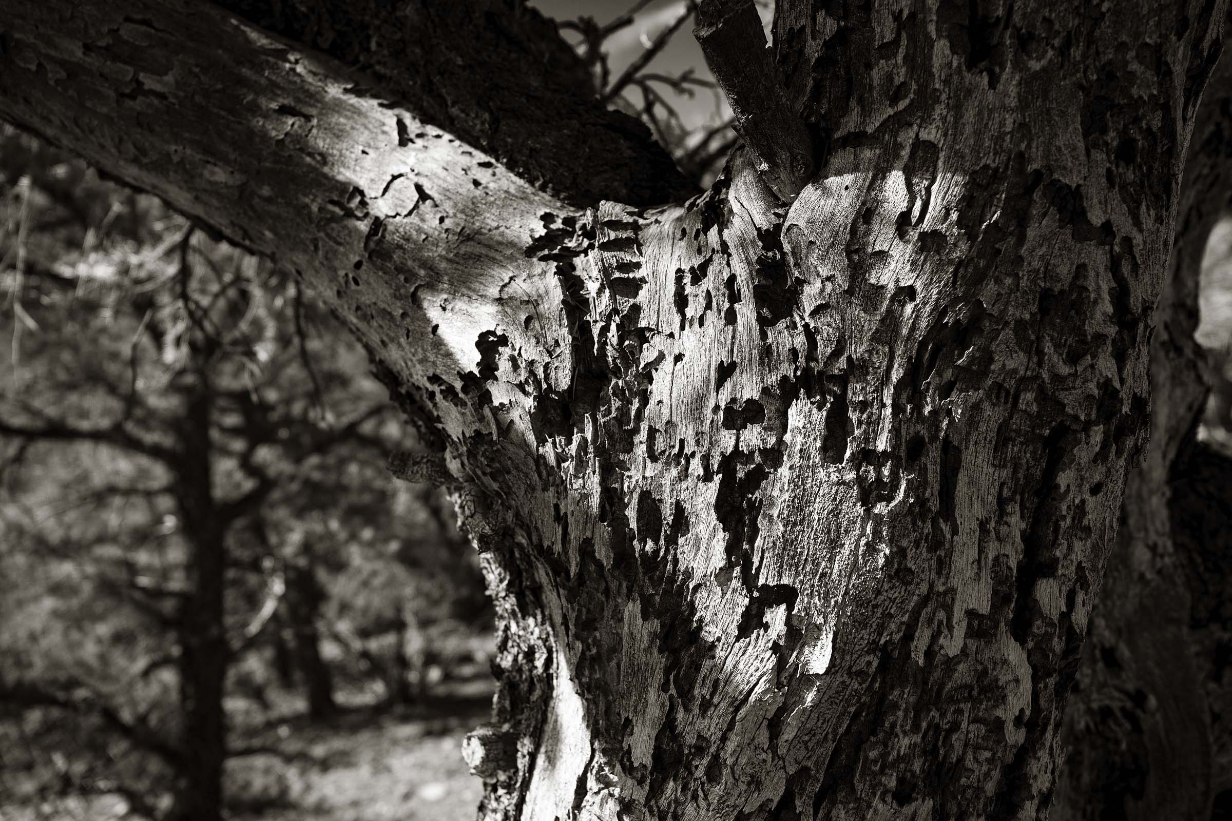
The exposed trunk of a piñon pine along the Wildrose Peak Trail.
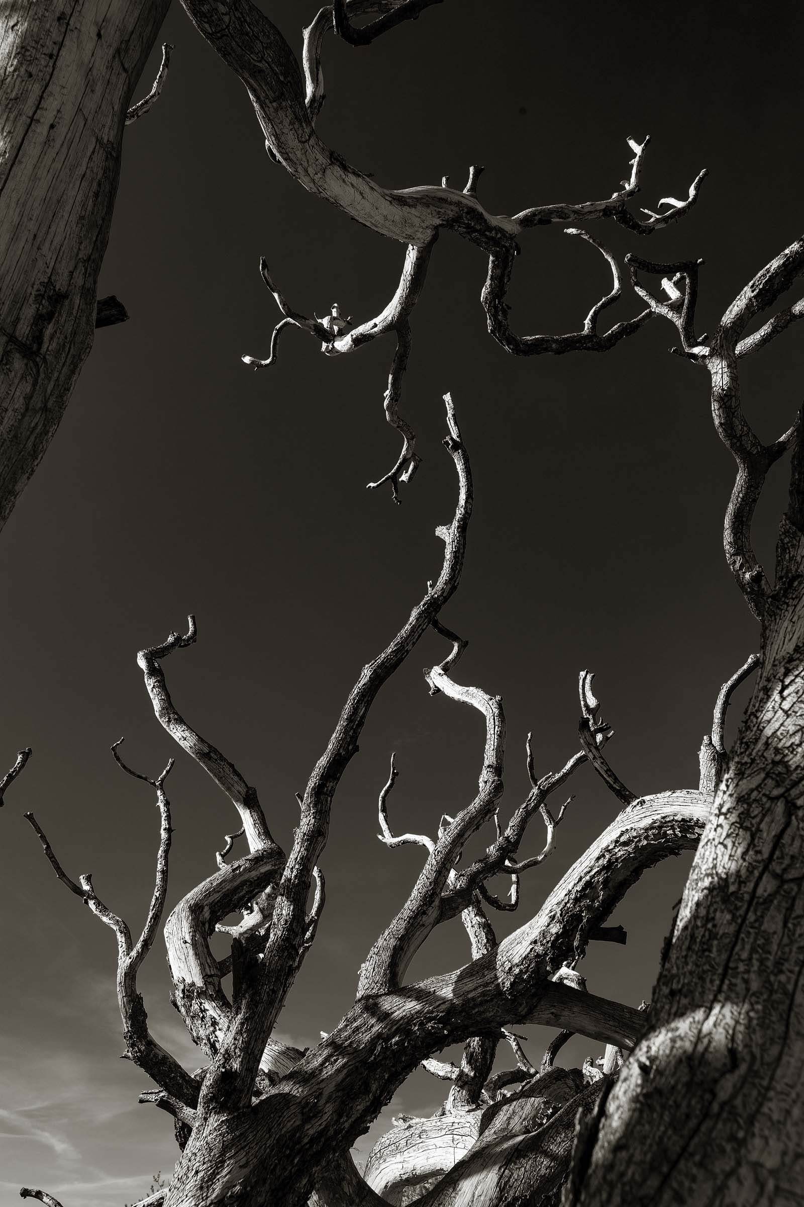
Along the Wildrose Peak Trail.
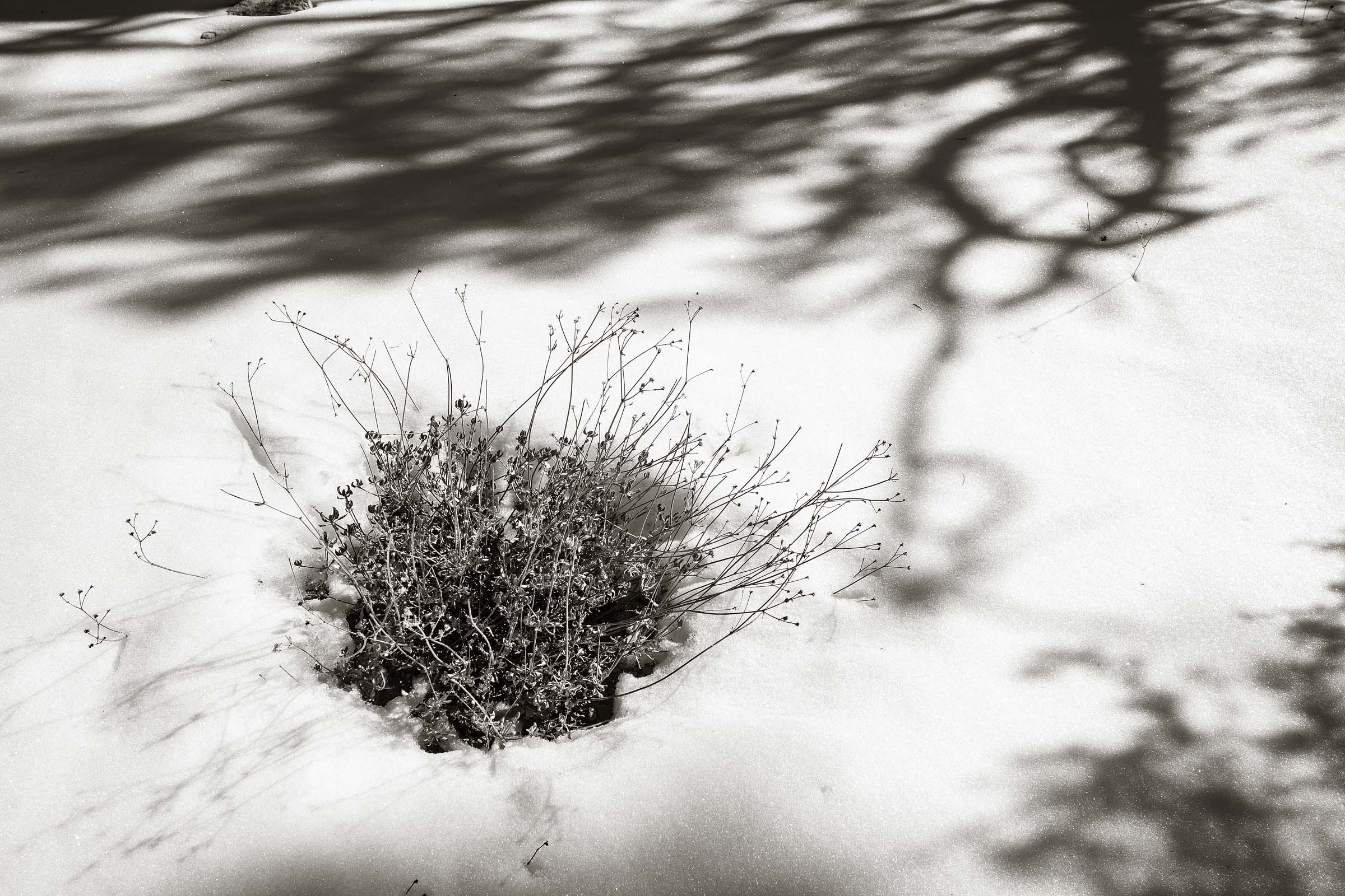
Snow covered ground along the Wildrose Peak Trail.
At the northern end of Death Valley lays the Ubehebe Crater. This magnificant hole in the ground is the remnants of a volcanic eruption which took place possibly as recent at 300 years. Signs all along the crater rim trail warn hikers not to get too close. It would be quite tumble as the crater is 600 feet (183 meters) deep.
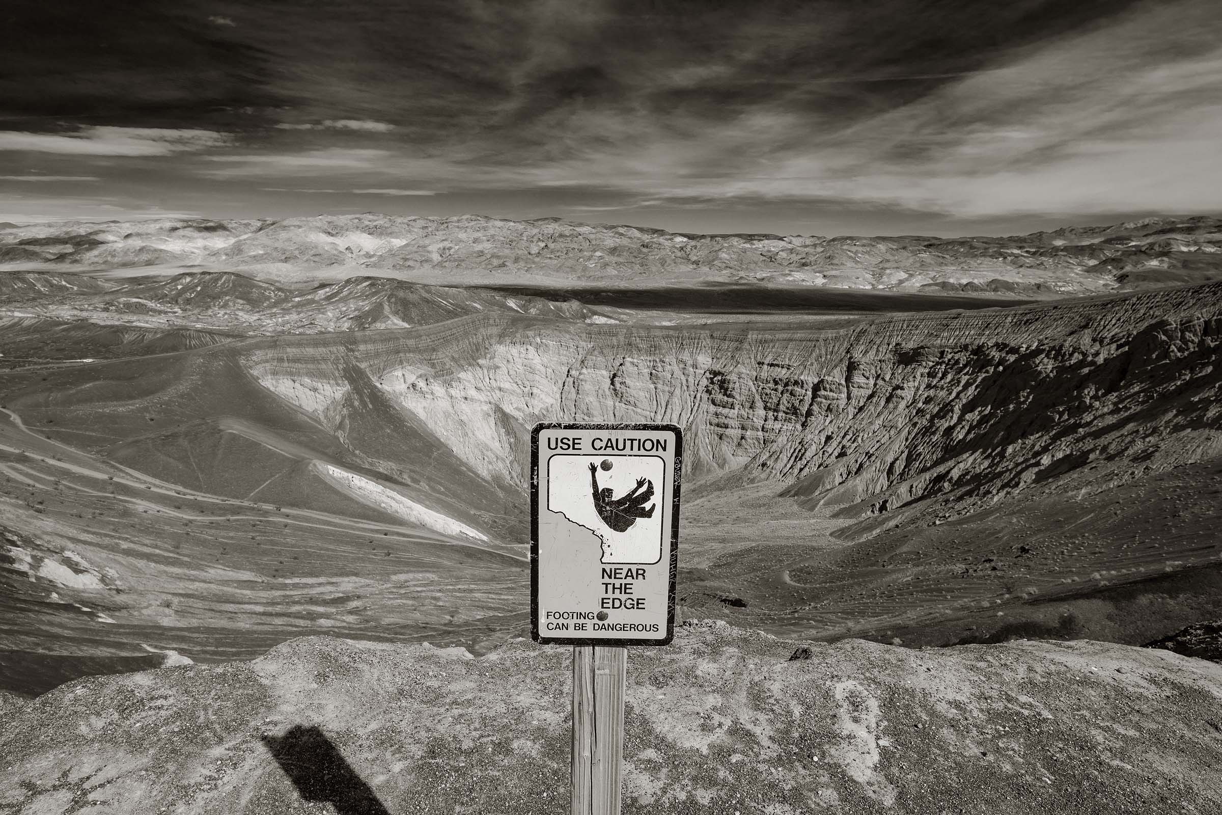
The Ubehebe Crater located on the northern side of Death Valley.
While the Ubehebe Crater is dramatic to stand beside and view it’s difficult to find an angle that makes for a good photograph. Fortunately there are other craters in the region that provide more photographic options. About half a mile from Ubehebe is appropriately named Little Hebe. From a nearby hill I was able to make a composition that not only captured the crater but also its surroundings and a dramatic view looking north of the valley.
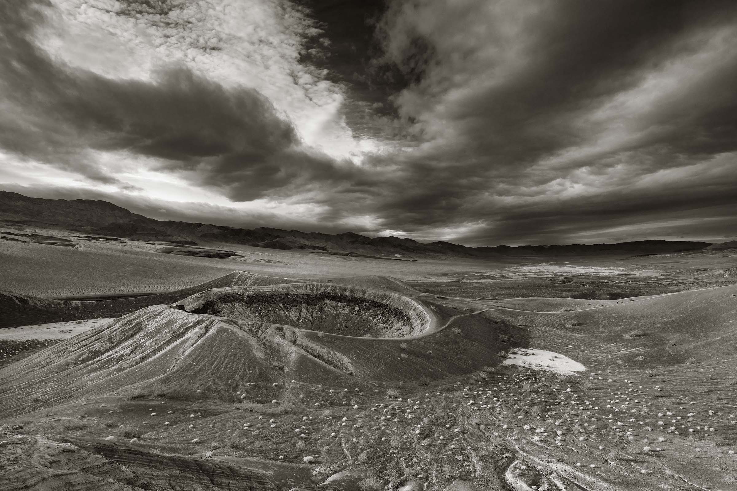
Little Hebe Crater
For the image above I actually had to make two trips to this spot. Upon my arrival in the morning the view was very flat due to total cloud cover. Given that weather can change quickly in Death Valley I opted to return to my car, have a bit of lunch and then wait to see if I could get some better light. In the mid afternoon I headed back up the trail despite the fact that the sky was still covered in clouds. When I got to the place where I wanted to shoot from I could see way up the valley to the north a break in the clouds. I thought, hoped, prayed, that that opening would travel my way and cast a beam of beautiful late afternoon light on the Little Hebe. After waiting a good 90 minutes my wish was granted and was given a few moments to make a photo.
When my wife first looked at this image she said the crater looked small. I then pointed to the one lone hiker along the trail on the right side of the image. It may be called Little Hebe but this hole in the ground is still impressive.
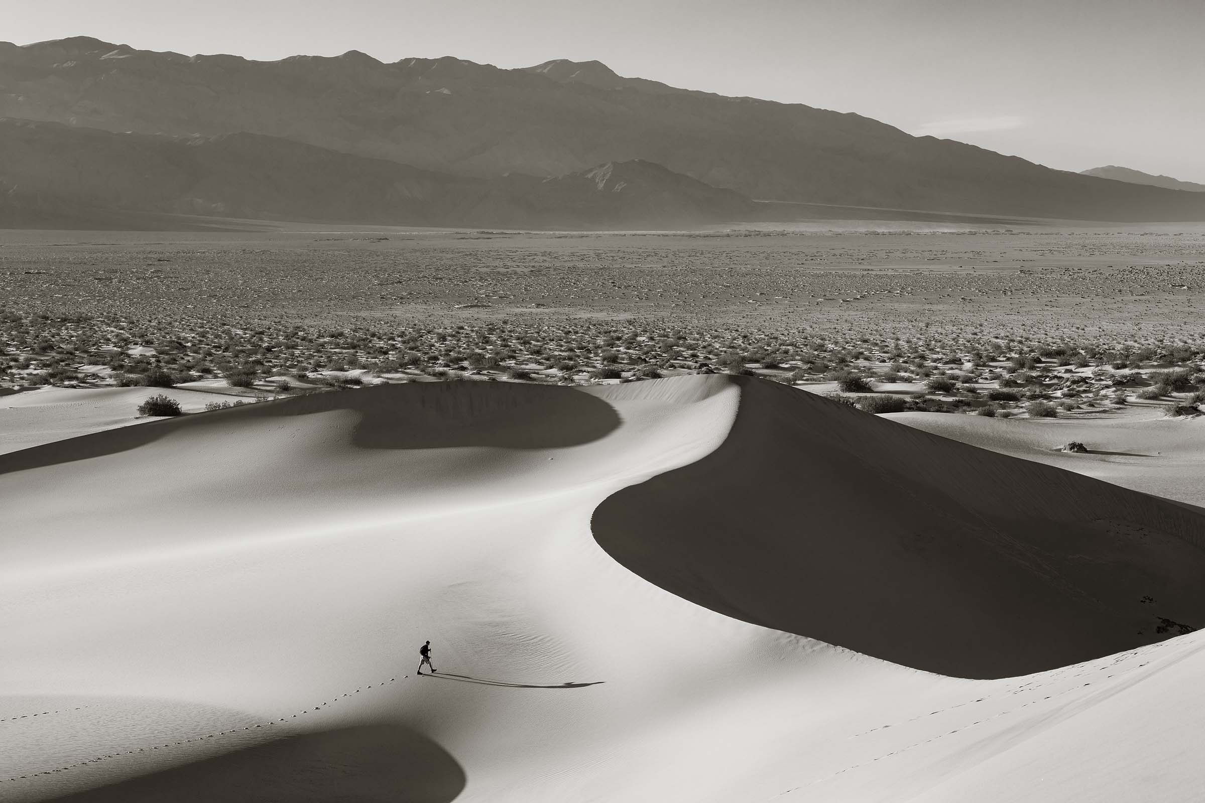
Mesquite Sand Dunes
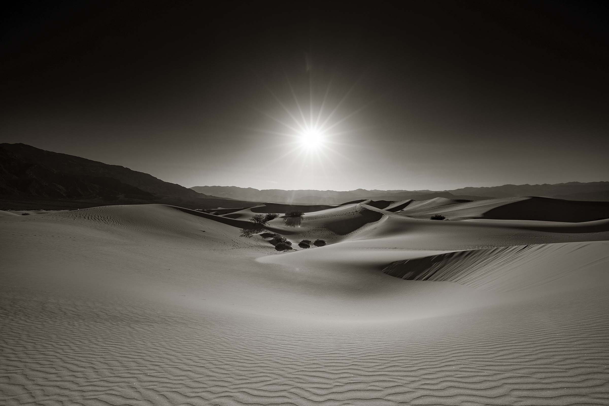
A trip to Death Valley is not complete without a visit to the Mesquite Sand Dunes. The best time to photograph the dunes is eather early morning or late afternoon to take advantage of the strong shadows. Since I prefer the comfort of my sleeping bag in the chilly early morning I opted for late afternoon.
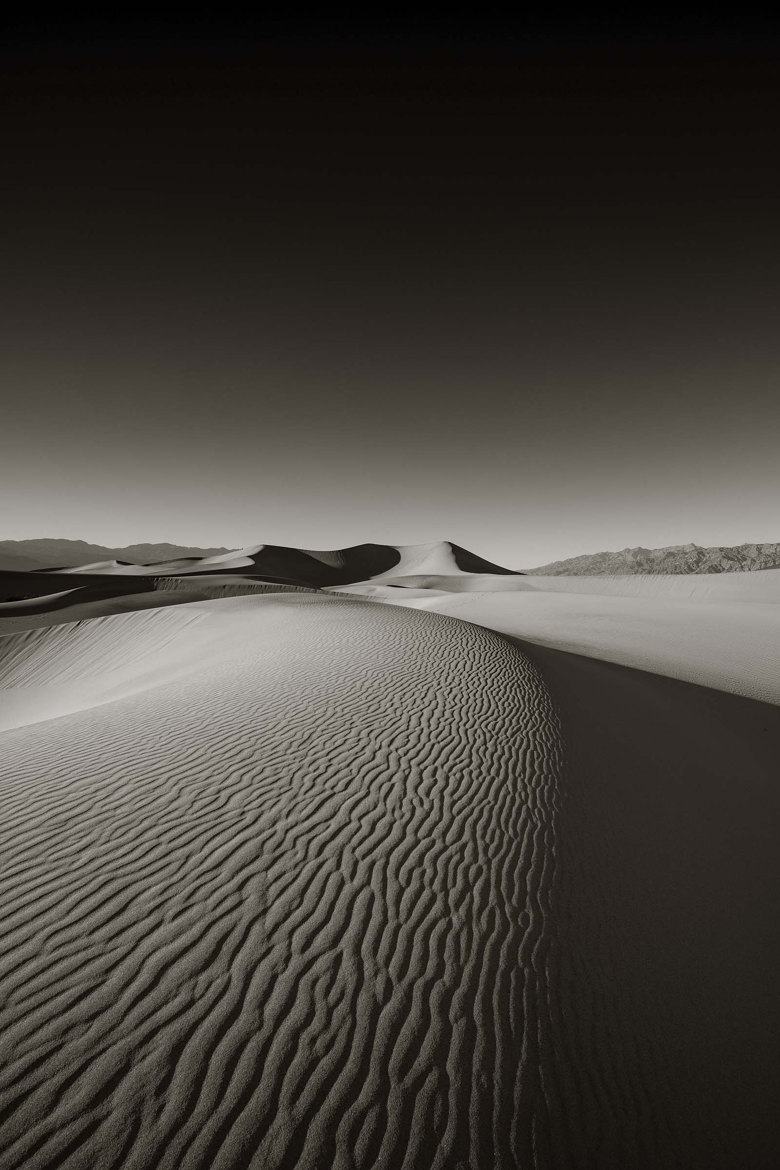
One of the challenges of photographing the dunes was to find an area that was relatively undisturbed by human activity. The dunes are very popular and some visitors even bring snow playing equipment such as sleds and saucers. Since I was more interested in mainly the shapes and curves of the dunes it meant I had to walk. Needless to say I got a hell of a workout climbing up and down a variety of hills until I reached a point where I felt I could make a photograph.
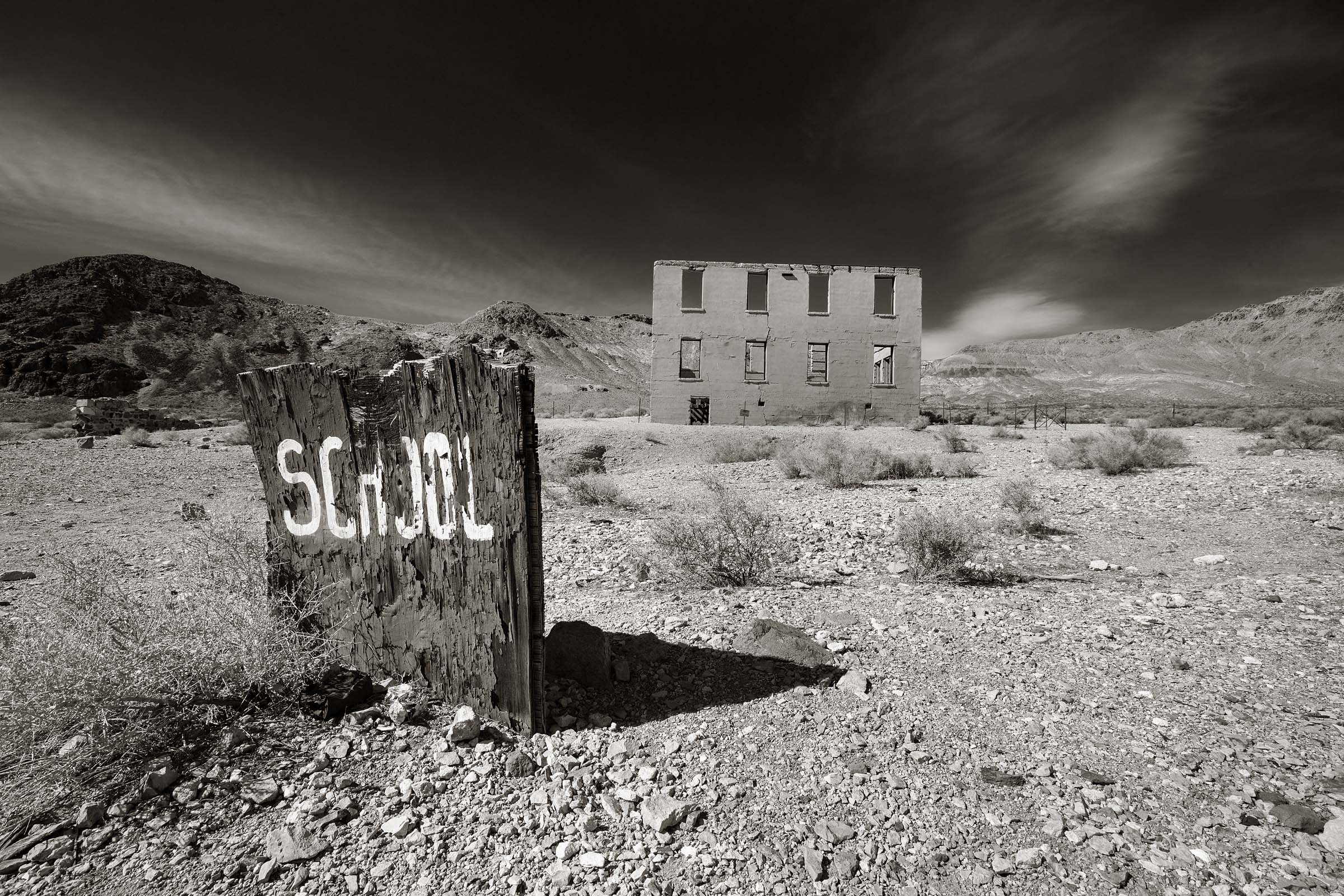
For the last day of my Death Valley adventure I decided to visit the ghost town of Rhyolite which is located just east of the national park’s boundry. The town was established back in 1905 due to the discovery of gold and quickly attracted folks eager to strike it rich. At one point the city swelled to a population of 6,000. Prosperity didn’t last long, however, and the community died by 1910. With only the shells of some of the original buildings still standing the ghost town has in recent years attracted a number of artists to create installation works.
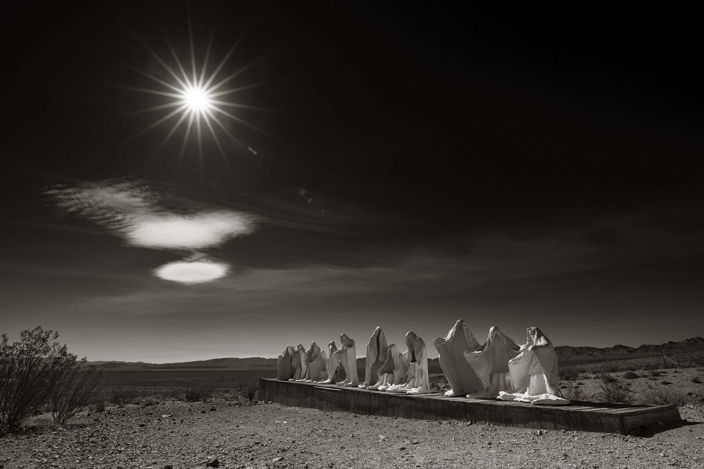
An installation art piece called “The Last Supper” located in the ghost town of Rhylolite created by artist Albert Szukalski.
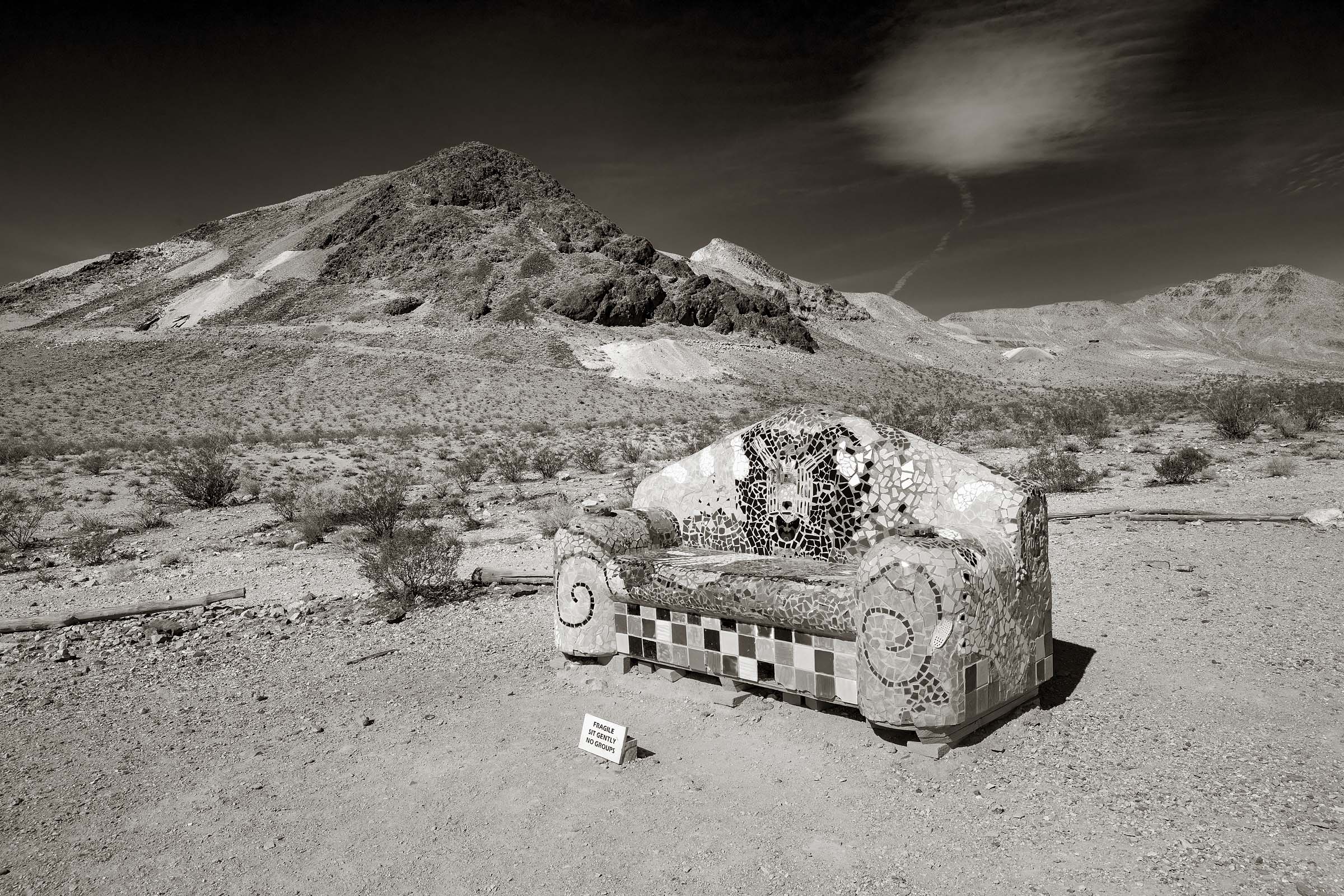
This is the only place I found to sit during my entire visit to Death Valley.
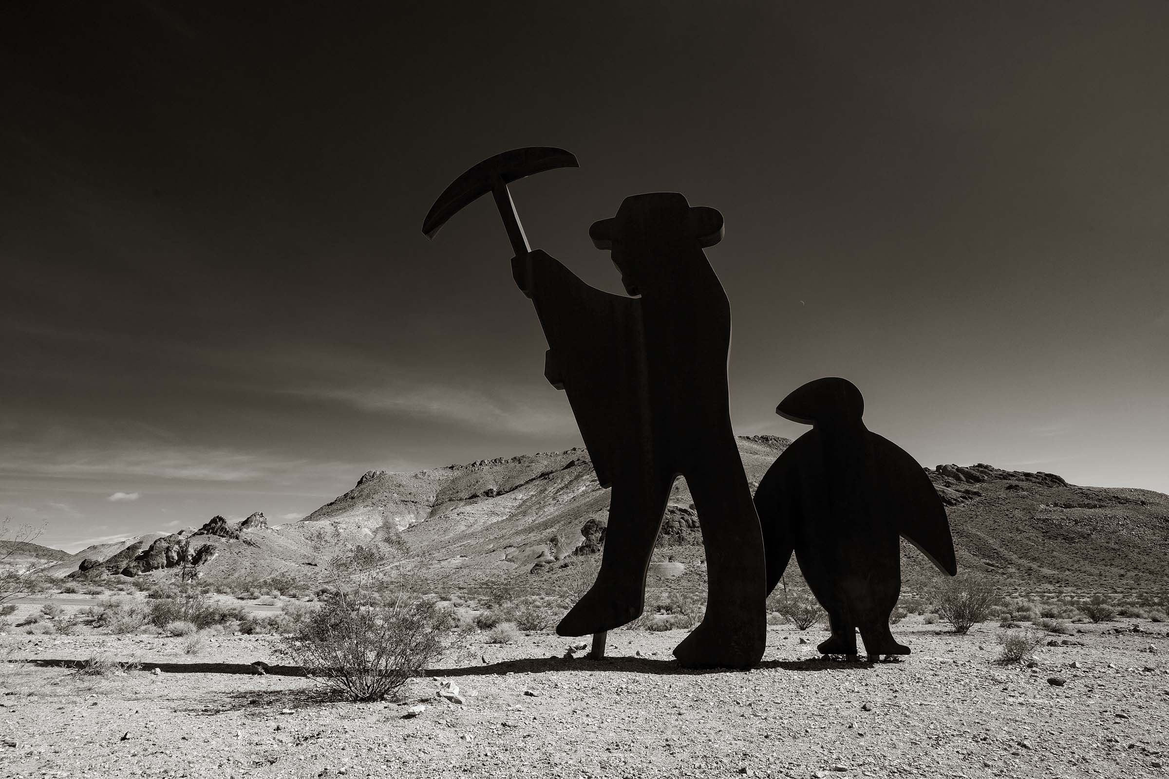
I understood the concept of portraying a miner but a penguin?
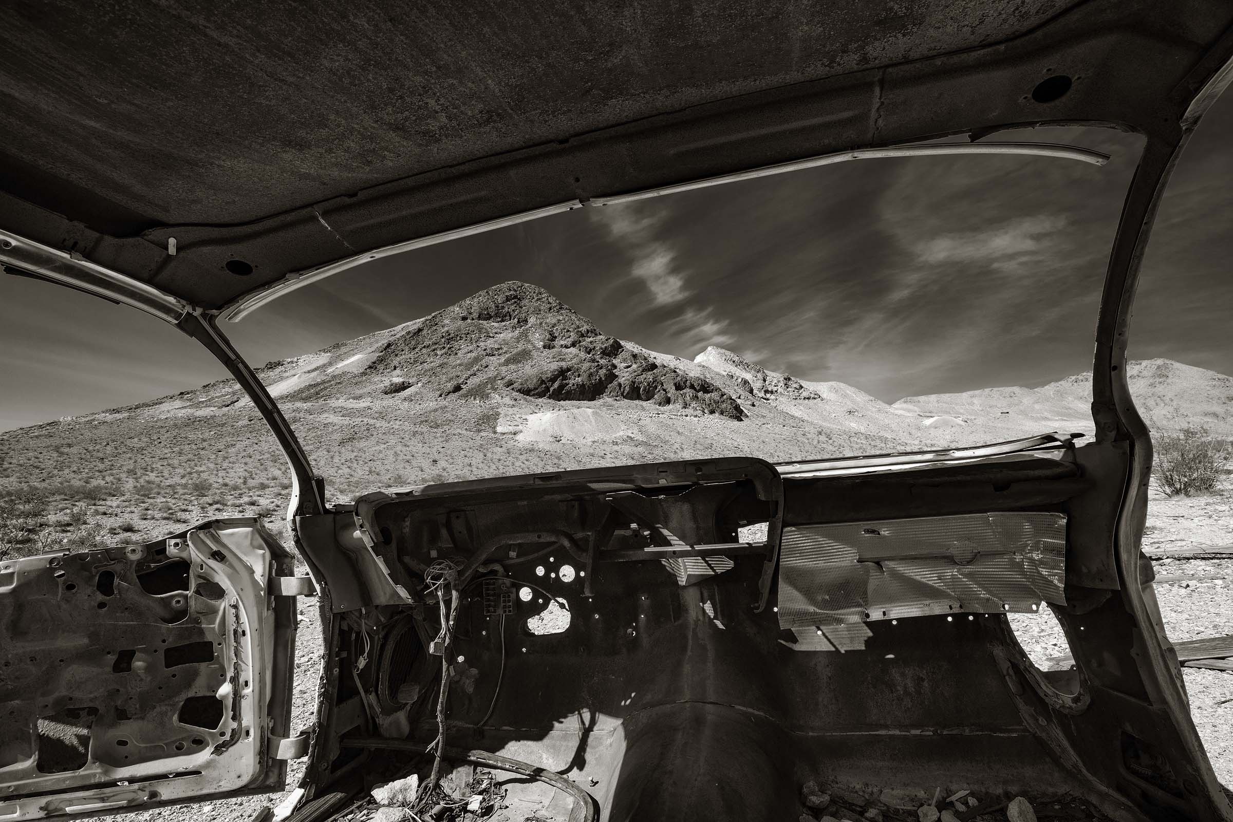
Not much remains of this long abandoned vehical.
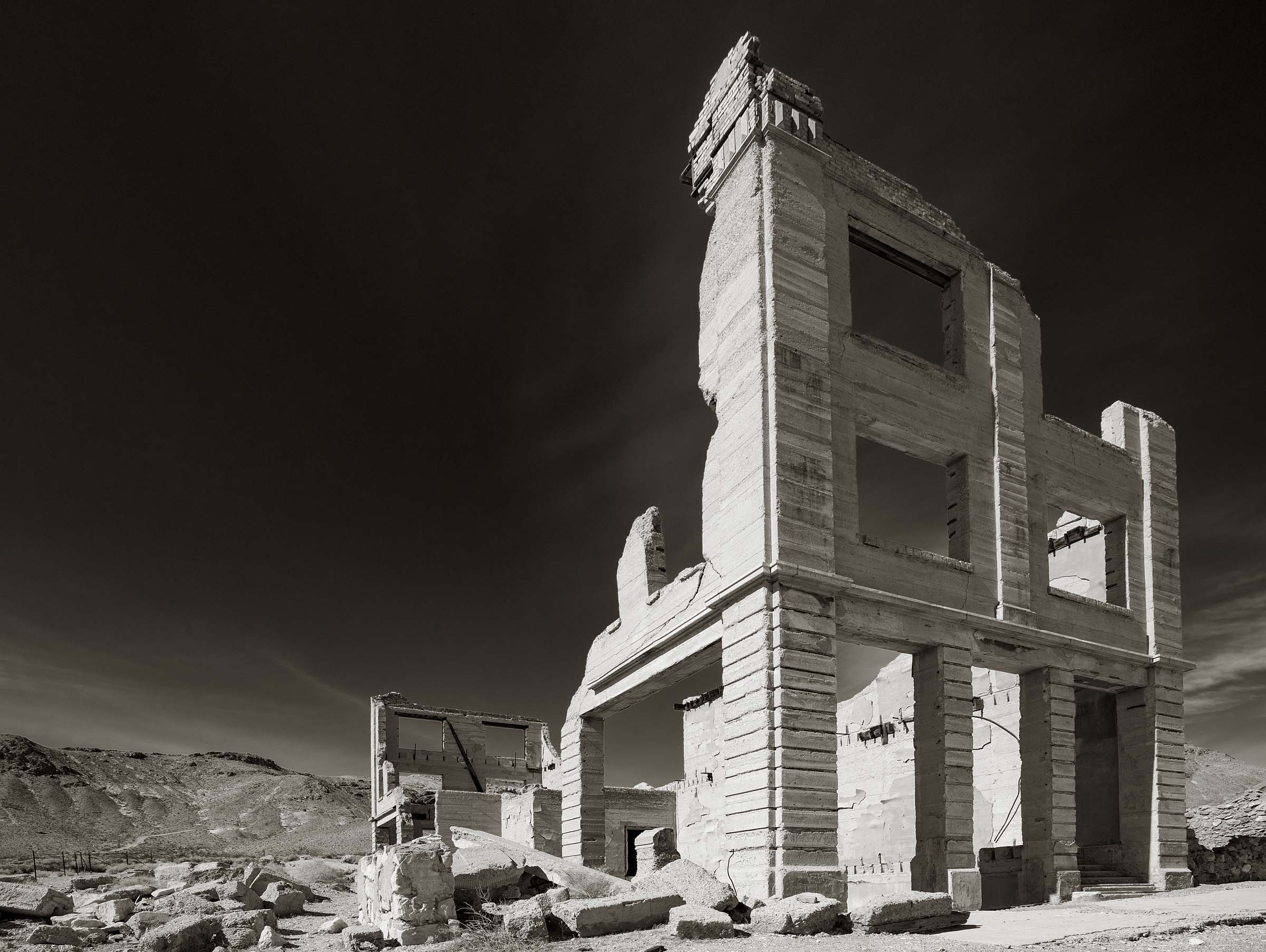
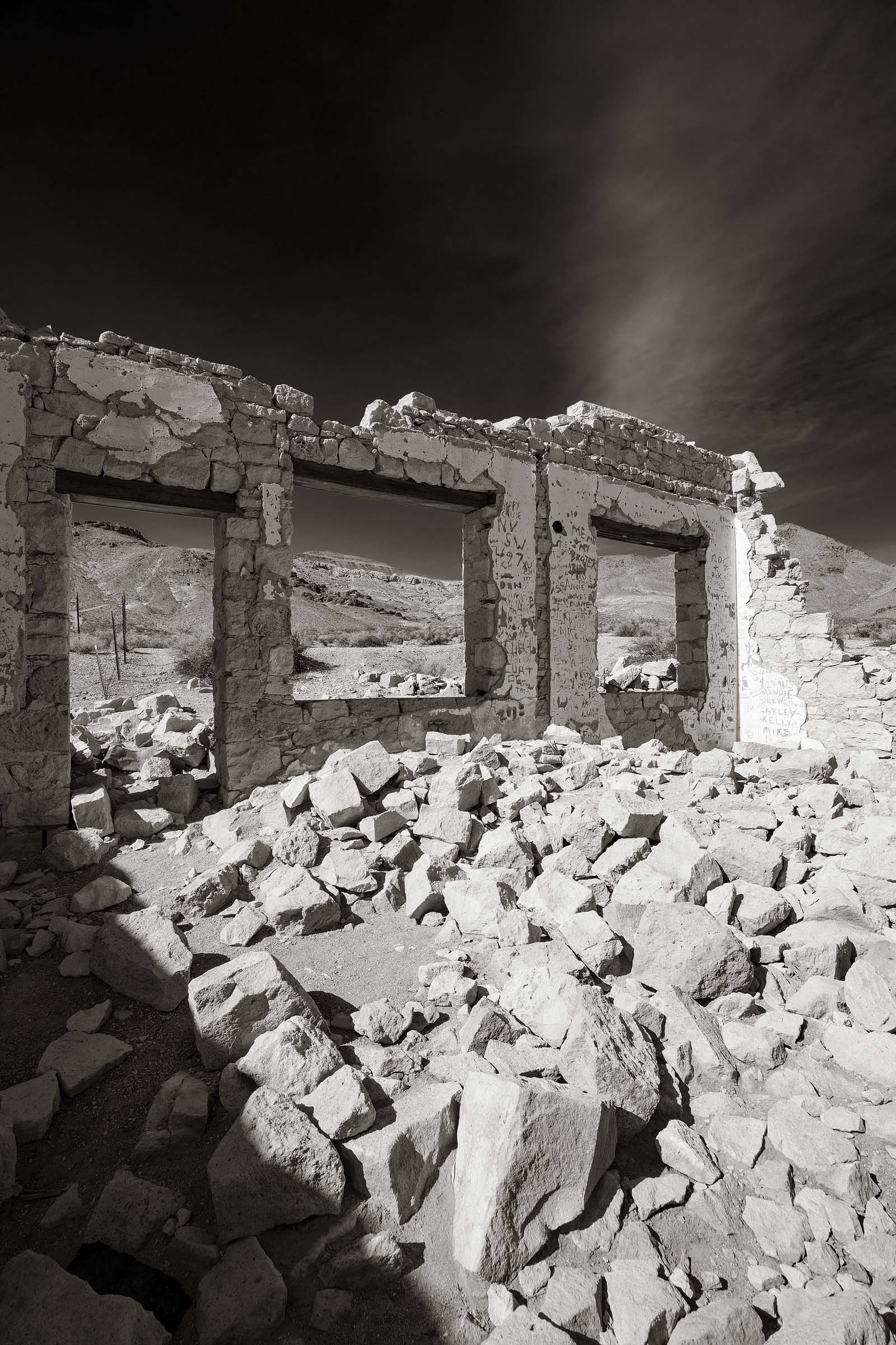
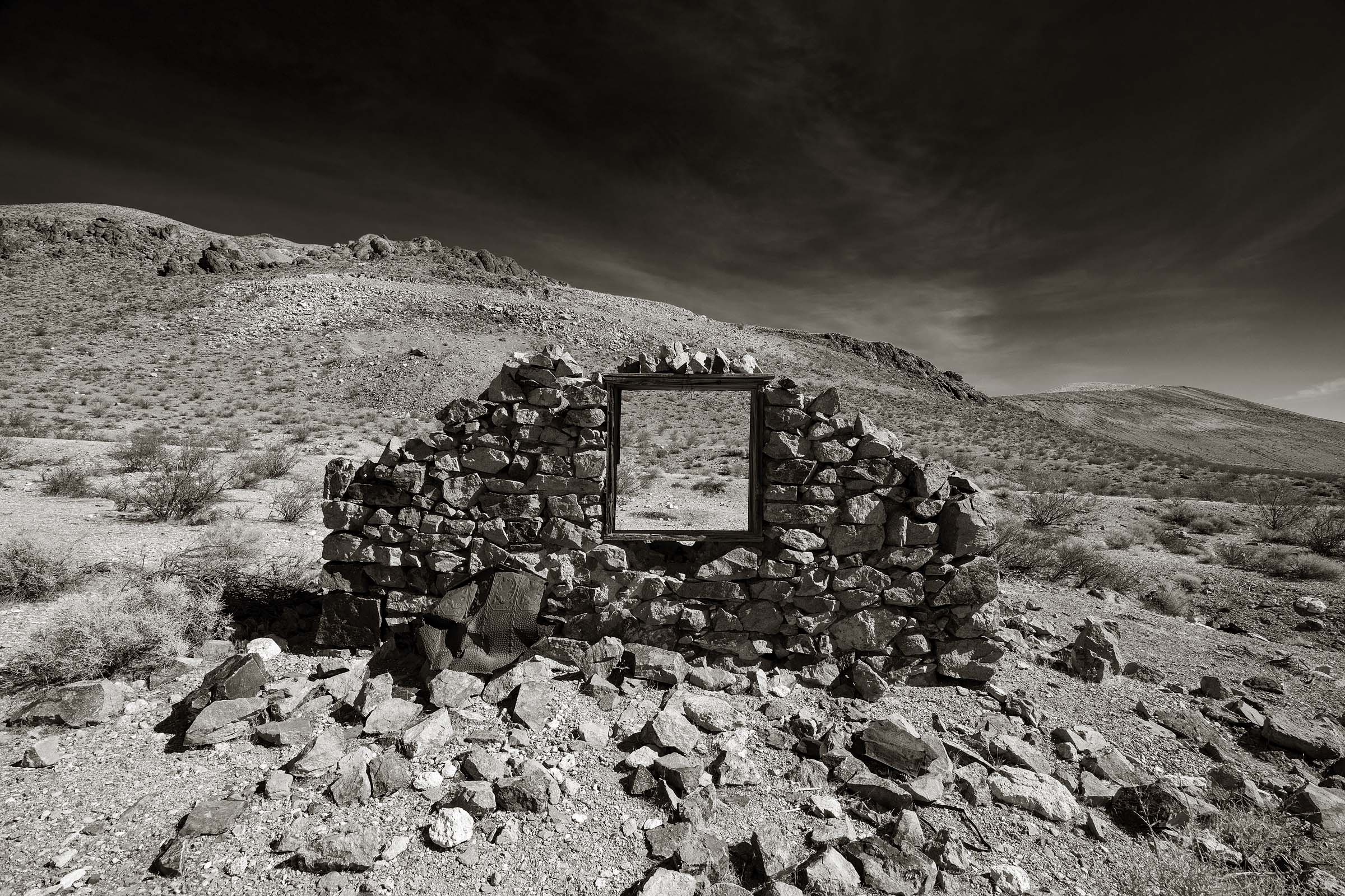
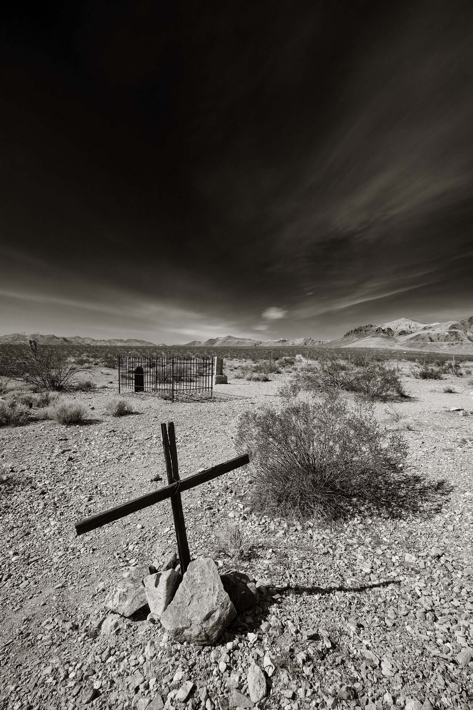
A final resting place for those that didn’t survive those few years that Rhyolite thrived. Most of the markers in this small cemetery have long been reclaimed by the desert and those that remain are without names or dates.
Tech Specs
Trip Dates: February 10-18, 2021
Camera: Canon 5D Mark IV
Lens: Canon 16-35 f2.8L
Filter: Nisi 100 x 150mm Nano Medium-Edge Graduated ND (4 Stop) Filter
Flash: Paul Buff Einstein
Modifier: Buff 35″ Octogon Box
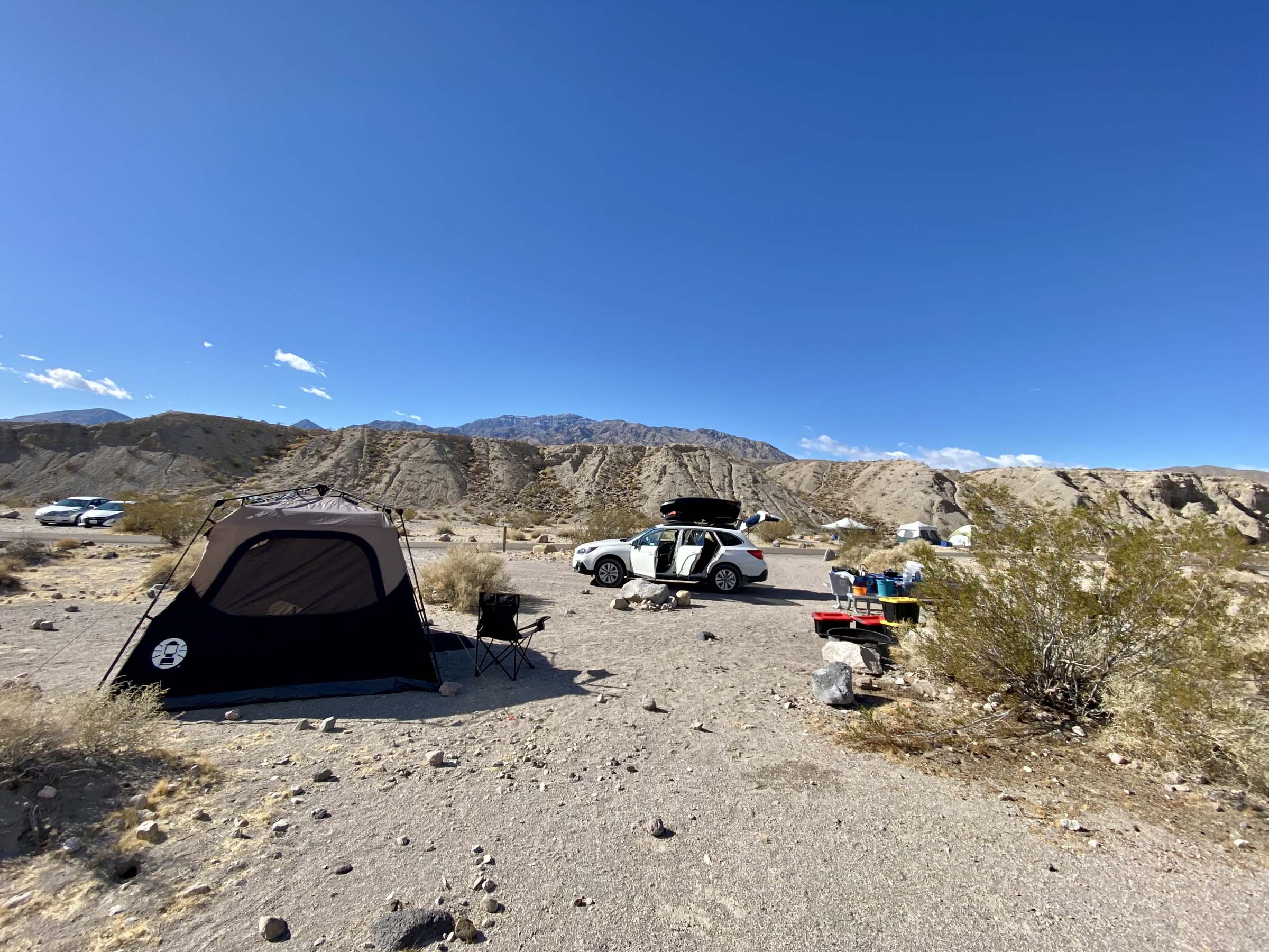
My base of operations at Mesquite Springs
All Photos Copyright David Hartung
